Kapalua Airport - (JHM / PHJH)
USA /
Hawaii /
Kapalua /
Hawaii Route 30 (Honoapi'ilani Highway)
World
/ USA
/ Hawaii
/ Kapalua
World / United States / Hawaii
airport
Add category
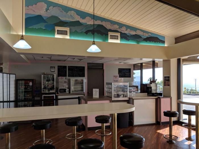
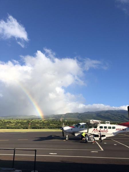
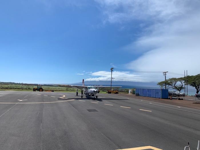
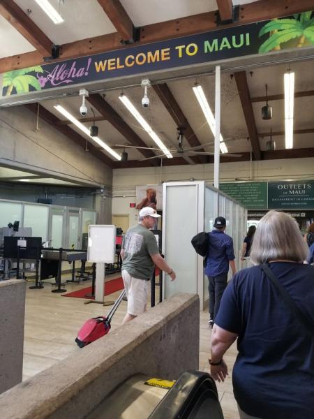

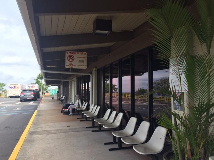
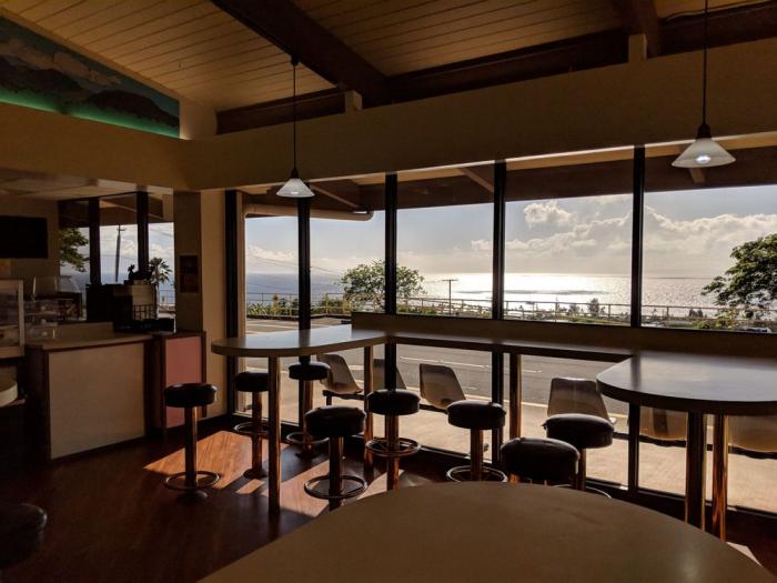
The Kapalua Airport is a commercial service airport that is served by commercial propeller air carriers and commuter/air taxi aircraft only. This facility started as a private facility until its acquisition by the State. The facility consists of a single runway, terminal facilities, and support facilities. There are no air cargo facilities at this airport. Access to this airport is provided from a two-lane road off of Honoapiilani Highway. Improvements to this airport are limited to certain upgrades only. The runway, apron and other facilities cannot be expanded without changes to the existing agreement with the County of Maui. Operations are limited to daytime hours only.
hawaii.gov/jhm
www.airnav.com/airport/PHJH
hawaii.gov/jhm
www.airnav.com/airport/PHJH
Wikipedia article: http://en.wikipedia.org/wiki/Kapalua_Airport
Nearby cities:
Coordinates: 20°57'47"N 156°40'23"W
- Kahului International Airport - (OGG / PHOG) 24 km
- Bellows Air Force Station Military Recreation Area 119 km
- Marine Corps Base Hawaii 128 km
- Honolulu International Airport (HNL/PHNL) 139 km
- Joint Base Pearl Harbor – Hickam (IATA: HIK – ICAO: PHIK) 142 km
- Kalaeloa Airport 152 km
- Former Naval Air Station Barbers Point 153 km
- Wheeler Army Airfield 154 km
- Hilo International Airport (IATA: ITO, ICAO: PHTO) 217 km
- Lihue Airport (PHLI / LIH) 300 km
- Kapalua, Hawaii 3.8 km
- Pu’u Kukui Watershed Preserve 7.9 km
- Pailolo Channel 8.5 km
- West Maui Natural Area Reserve - Kahakuloa Section 11 km
- Mauna Kahalawai/West Maui Mountains 11 km
- West Maui Forest Reserve - Kahakuloa North Section 11 km
- Pu‘u O Hoku Ranch Conservation Easement 20 km
- Pu'u O Hōkū Ranch Lands 22 km
- Maui 39 km
- Molokaʻi 40 km