Ust-Nera
Russia /
Saha /
Ust-Nera /
World
/ Russia
/ Saha
/ Ust-Nera
, 6 km from center (Усть-Нера)
World / Russia / Sakha
town, district center
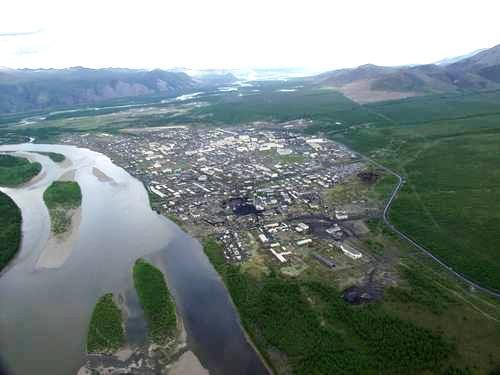
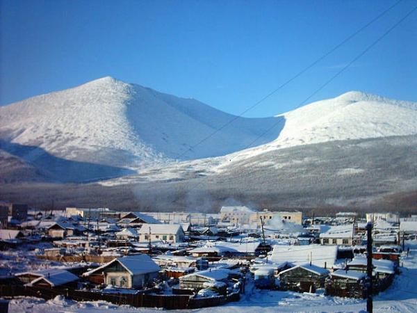

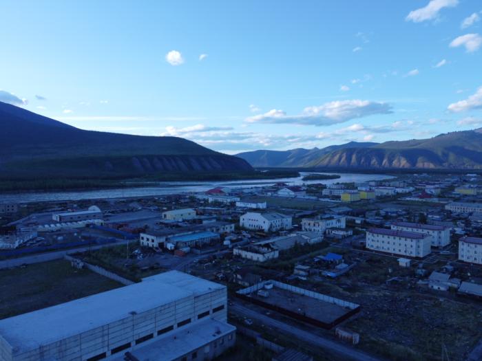
Ust-Nera (Russian: Усть-Нера) is an urban locality (a settlement) and the administrative center of Oymyakonsky District of the Sakha Republic, Russia, located at the confluence of the Nera and the Indigirka Rivers. Population: 9,457 (2002 Census); 12,535 (1989 Census).
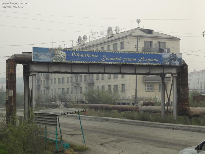
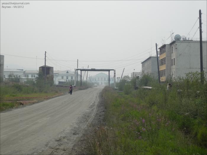
Gold mining is the main occupation in the settlement. The Kolyma Highway was extended northwest to Ust-Nera in 1937. There is an airport and a small museum. River traffic on the Indigirka is limited by the rapids 100 kilometers (60 mi) downstream.
Gold mining is the main occupation in the settlement. The Kolyma Highway was extended northwest to Ust-Nera in 1937. There is an airport and a small museum. River traffic on the Indigirka is limited by the rapids 100 kilometers (60 mi) downstream.
Wikipedia article: http://en.wikipedia.org/wiki/Ust-Nera
Nearby cities:
Coordinates: 64°34'11"N 143°15'27"E
- Shari 2253 km
- Rausu 2254 km
- Engaru 2277 km
- Kamikawa 2295 km
- Shibecha 2338 km
- Ashoro 2339 km
- Minamifurano 2357 km
- Shiranuka 2360 km
- Biratori 2414 km
- Shinhidaka 2439 km
- Усть-Нерская гимназия 1 km
- ул. Ленина, 27 1.2 km
- Офис ООО "Восток" 1.3 km
- Nera River 3.6 km
- Базисный (постоянный) склад хранения ВМ (взрывчатых материалов) 4.3 km
- Сарылахская обогатительная фабрика (СОФ) 4.5 km
- Antonov An-24RV 7 km
- Ust-Nera Airport 7.3 km