Södermalm (Stockholm)
Sweden /
Stockholm /
Stockholm
World
/ Sweden
/ Stockholm
/ Stockholm
World / Sweden / Stockholm
island, neighbourhood, city district
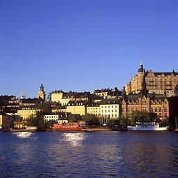
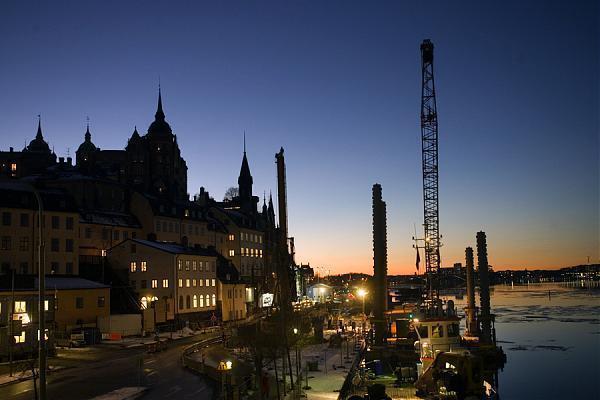
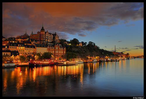
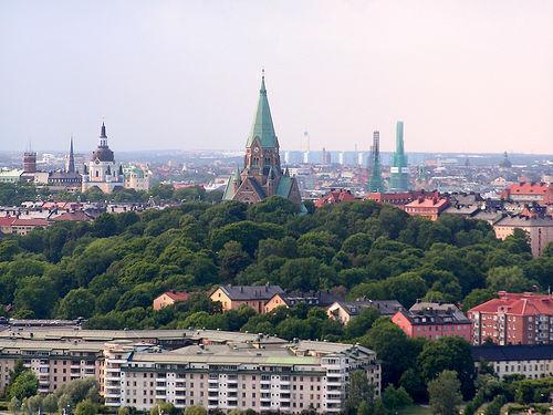
Södermalm (often shortened to "Söder", South), is an island that forms the southern district of central Stockholm. With a population of over 100,000 (2005), it is one of the most densely populated districts of Scandinavia.
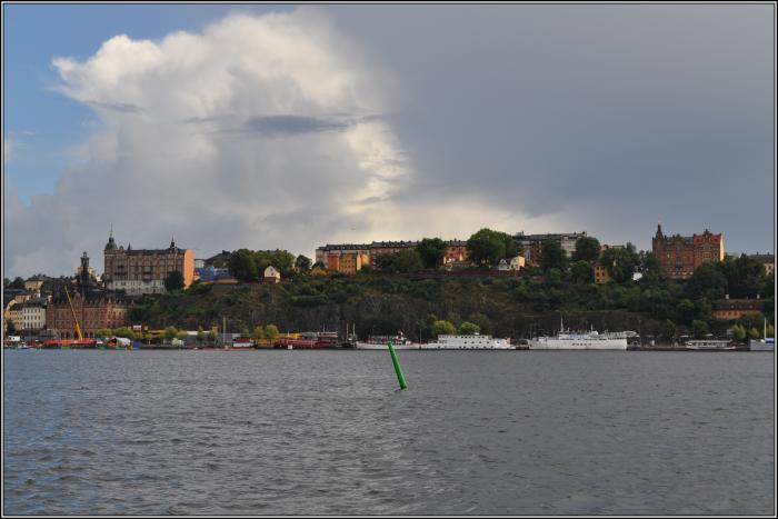
Södermalm is connected to its surrounding areas by a number of bridges. It connects to Gamla Stan (Old Town) to the north by Slussen, a grid of road and rail and a lock that separates the lake Mälaren from the Baltic Sea, to Långholmen and Kungsholmen to the northwest by one of the city's larger bridges, Västerbron, to the islet of to Reimersholme to the west, to Liljeholmen to the southwest, to Årsta and Johanneshov to the south, and, finally, to Nacka to the east by Danvikstull Bridge.
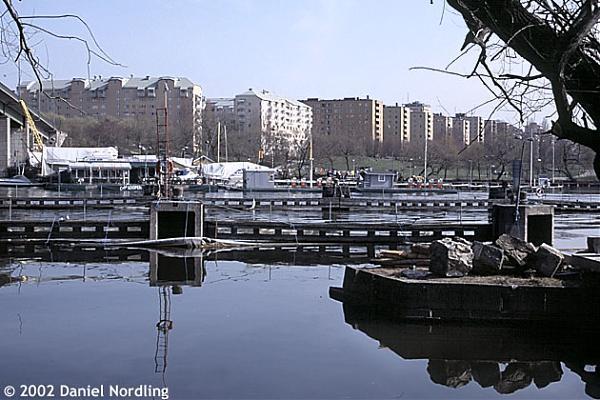
Administratively, Södermalm is divided into two bouroughs, Maria-Gamla Stan in the west and Katarina-Sofia in the east. The former also includes Gamla Stan, the latter Hammarby Sjöstad.
Södermalm is connected to its surrounding areas by a number of bridges. It connects to Gamla Stan (Old Town) to the north by Slussen, a grid of road and rail and a lock that separates the lake Mälaren from the Baltic Sea, to Långholmen and Kungsholmen to the northwest by one of the city's larger bridges, Västerbron, to the islet of to Reimersholme to the west, to Liljeholmen to the southwest, to Årsta and Johanneshov to the south, and, finally, to Nacka to the east by Danvikstull Bridge.
Administratively, Södermalm is divided into two bouroughs, Maria-Gamla Stan in the west and Katarina-Sofia in the east. The former also includes Gamla Stan, the latter Hammarby Sjöstad.
Wikipedia article: http://en.wikipedia.org/wiki/Södermalm
Nearby cities:
Coordinates: 59°18'43"N 18°3'59"E
- Gamla Enskede 2.5 km
- Nacka Municipality 3.3 km
- Östermalm 3.9 km
- Skarpnäcks gård 4.1 km
- Ladugårdsgärdet 4.6 km
- Norrmalm (borough) 5.2 km
- Flaten 6.7 km
- Orhem 6.7 km
- Farsta strand 7.5 km
- Riksby 10 km
- Timmermansparken 0.2 km
- Södra station 0.2 km
- Brf Bågen - Bofills Båge 0.2 km
- Söderhallarna 0.3 km
- Hospital Roselund 0.3 km
- Fatbursparken 0.3 km
- Björngårdsskolan 0.4 km
- Medborgarplatsen 0.4 km
- Åsö gymnasium 0.4 km
- Lake Mälaren 56 km
Comments