Ushi
Armenia /
Aragatsotn /
Ushi /
World
/ Armenia
/ Aragatsotn
/ Ushi
World / Armenia
village
Add category
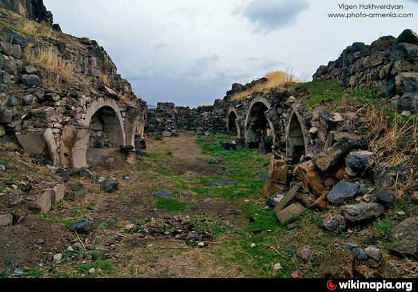
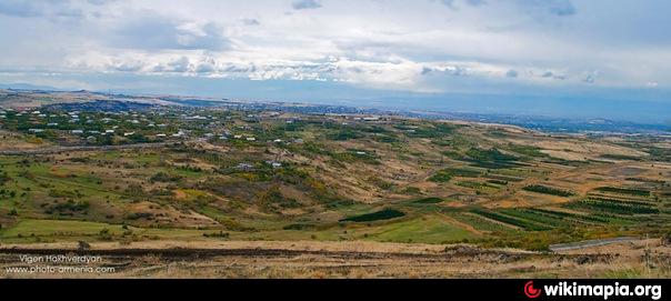
Ushi is a village in the Aragatsotn Province of Armenia. Until the Russian conquest in 1828, Ushi was the administrative center of the Sayyidli-Aksakhali Mahal (district). The town contains a small 10th century chapel, and approximately 1 km outside of the village are the ruins of Saint Sargis Monastery of the 7th-13th centuries. Under the Chapel of Saint Sargis (the only structure still standing), is the grave and re-interred remains of the aforementioned saint. On top of the hill adjacent to the monastery complex are the collapsed remains of an Iron Age Fortress.
Wikipedia article: http://en.wikipedia.org/wiki/Ushi,_Armenia
Nearby cities:
Coordinates: 40°20'59"N 44°22'20"E
- Nor Yerznka 3.7 km
- Nor Geghi 17 km
- Karashamb 18 km
- Parakar 19 km
- Dzoraghbyur 26 km
- Hovtashat 26 km
- Ayntap 28 km
- Nor Kharberd 29 km
- Garni 37 km
- Kerimbeyli 39 km
- Sarab 3.2 km
- nazaa3 3.4 km
- Karatepe mt. 4 km
- Buravet (abandoned village) 4.1 km
- Bazmaghbyur 5.1 km
- Nokhuttepe mt. 5.6 km
- Ruins of Kyurdaly 6.2 km
- Ruins of Hamamly 7.3 km
- Ara ler (2585m) 9 km
- Aparan Community 20 km