Puurs (gemeente)
Belgium /
Antwerpen /
Puurs /
World
/ Belgium
/ Antwerpen
/ Puurs
World / Belgium / Vlaanderen / Antwerpen / Mechelen
municipality, draw only border
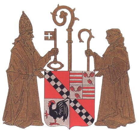
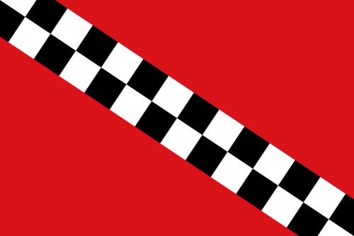
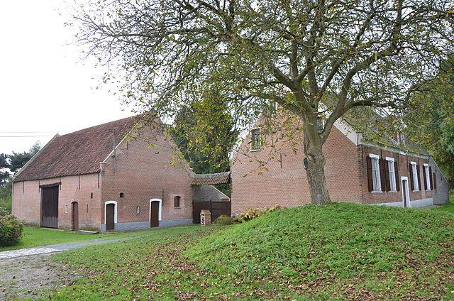
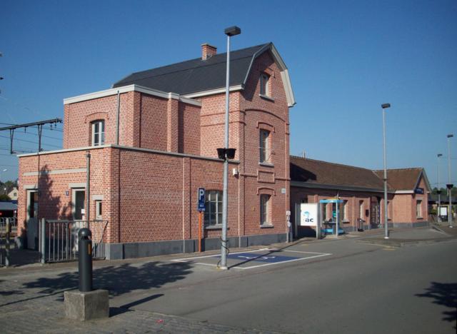
Puurs (Dutch pronunciation: [pyːrs]) is a former municipality located in the Belgian province of Antwerp. It is located in the Flemish Region. The municipality comprises the towns of Breendonk, Liezele, Kalfort, Ruisbroek (old spelling: Ruysbroeck) and Puurs proper. There is also the hamlet of Kalfort. On January 1, 2006, Puurs had a total population of 16,029. The total area is 33.41 km2 (13 sq mi) which gives a population density of 480 inhabitants per km².
Wikipedia article: http://en.wikipedia.org/wiki/Puurs
Nearby cities:
Coordinates: 51°3'51"N 4°18'16"E
- Beveren (Municipality) 34 km
- Antwerp (municipality) 35 km
- Geel 46 km
- Zundert (municipality) 56 km
- Mol 59 km
- Alphen-Chaam 63 km
- Steenbergen (municipality) 67 km
- Breda 69 km
- Tilburg 78 km
- Oirschot (Municipality) 82 km
- Recreation domain "De Walsingen" 1 km
- Fortress Liezele 1.4 km
- Castle 's Gravenkasteel 3.4 km
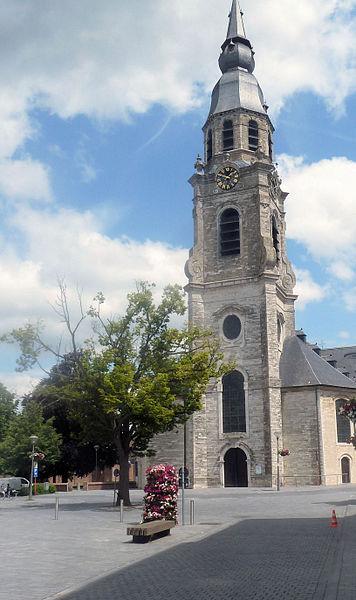
- Saint Stephen Church 3.8 km
- Castle, Hof te Melis 4.7 km
- Keten 5.7 km
- Electricity pylon 5.9 km
- Londerzeel (municipality) 6.6 km
- 380 kV Branch to Vilvoorde 6.9 km
- Electricity pylon 7.5 km