Yucca Airstrip - Area 6
USA /
Nevada /
Indian Springs /
World
/ USA
/ Nevada
/ Indian Springs
World / United States / Nevada
airport, military airbase, military
IATA: UCC, ICAO: KUCC, FAA LID: NV11
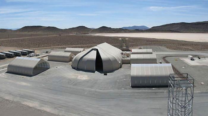
Yucca Airstrip Airport is located on the Nevada Test Site.
Site and is owned by the United States Department of Energy.
On the sectional chart it is depicted as an unverified airstrip, it covers an area of 41 acres (17 ha) and has two runways, one located on the salt flat and a shorter, more recently constructed asphalt runway just east of the salt flat:
Runway 01/19: 4,990 x 75 ft (1,521 x 23 m), surface: Asphalt
Runway 14/32: 9,000 x 200 ft (2,743 x 61 m), surface: Salt
Wikipedia article: http://en.wikipedia.org/wiki/Yucca_Airstrip
Nearby cities:
Coordinates: 36°56'2"N 116°0'23"W
- Area 5 Radioactive Waste Management Complex (Doomtown) 8.1 km
- Frenchman Flats 13 km
- "Priscilla" 16 km
- "Military Effects Test" 16 km
- bomb craters 33 km
- bombing targets 35 km
- target area 51 km
- Urban Assault Mock-Up Training Area 52 km
- target area 56 km
- target area 60 km
- Yucca Dry Lake 1.8 km
- Area 7 17 km
- Yucca Flat 17 km
- Papoose Dry Lake 24 km
- Papoose Mountain (Papoose Range) 31 km
- Creech Air Force Base 48 km
- Dog Bone Lake 50 km
- mock airfield 51 km
- Desert Lake 67 km
- Sheep Range 75 km
Comments