A 28 a (Ban communal de MITTELHAUSBERGEN)
France /
Alsace /
Oberhausbergen /
Ban communal de MITTELHAUSBERGEN
World
/ France
/ Alsace
/ Oberhausbergen
France / Monde / Alsace / Bas-Rhin / /
militaire, fortification
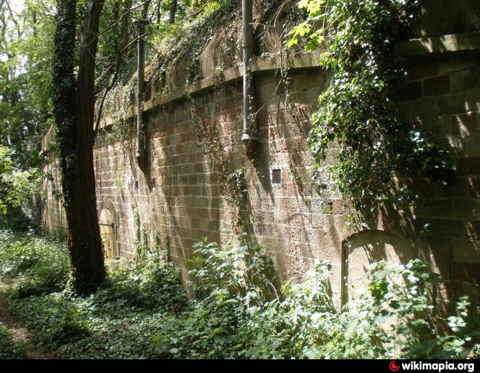
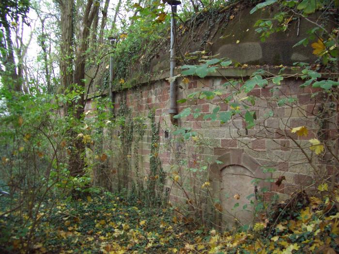


abri d'artillerie A28a
Villes proches:
Coordonnées : 48°37'17"N 7°41'21"E
- CFIAR 5 km
- Quartier Leclerc (1er Régiment de Génie) 10 km
- Eurocorps 10 km
- Fort de Mutzig 19 km
- Romanswiller, l'ancien dépôt de munitions 23 km
- Quartier Estienne 23 km
- Oberhoffen-sur-Moder military area 24 km
- Dépot de Munitions du 1er RMAT (Neubourg) 26 km
- 1er Régiment d'infanterie 48 km
- Fossé rhénan 166 km
- Quartier Zinkenthal-Colline 0.8 km
- Fort FRERE 1 km
- Quartier Le Vésinet 1.1 km
- Quartier Le Moulin 1.2 km
- Parc d'activité - VALPARC 2.2 km
- Ringbahn (D'après cadastre 1895) 3 km
- tranchées 3 km
- Strasbourg Eurométropole 7.1 km
- Fossé rhénan 26 km
- Alsace 43 km
Commentaires