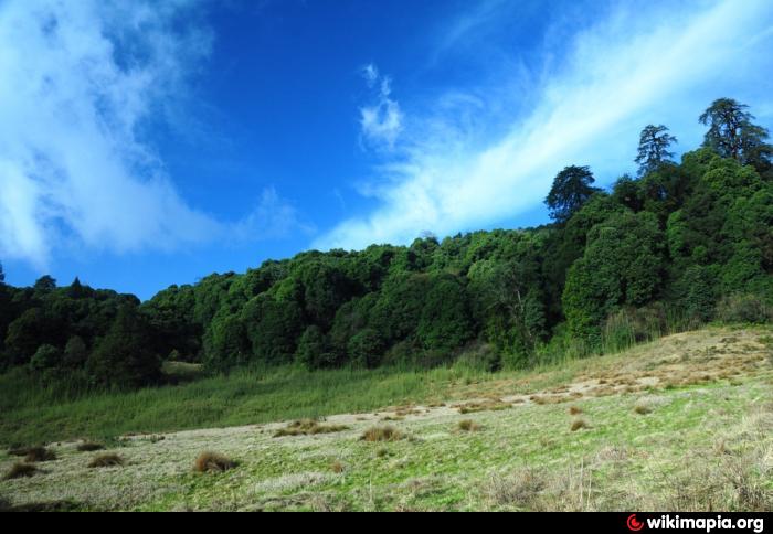
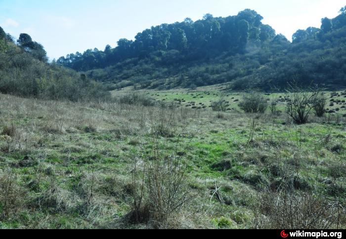
Deonil Dhap or Dry Lake
| grassland
India /
Sikkim /
Gezing /
World
/ India
/ Sikkim
/ Gezing
World / India / Sikkim / West Sikkim
grassland
Add category
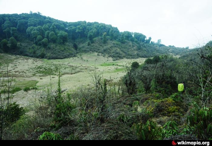
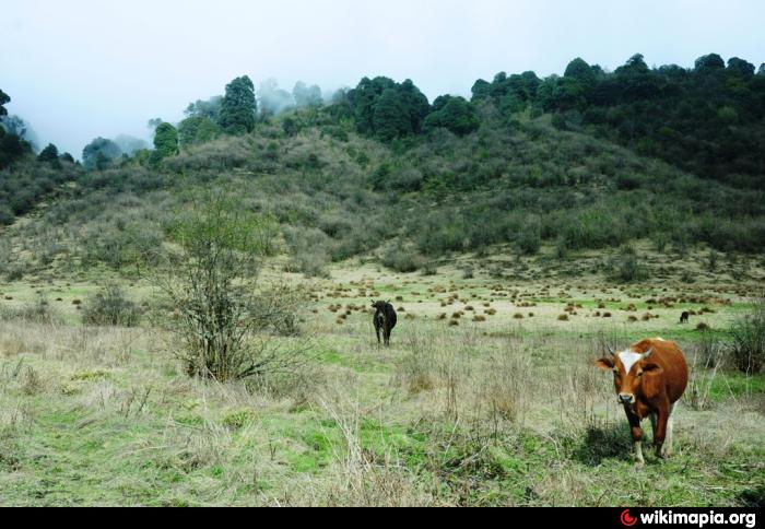
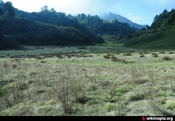
Place on the way to Gorkey from Uttare....
Water below the thick grass layer...
water source is available .....
Water below the thick grass layer...
water source is available .....
Nearby cities:
Coordinates: 27°13'55"N 88°5'51"E
- Gram panchayat s gauchar bhumi (JODA) BAJLA 1259 km
- Laonchon 1379 km
- Sudmarg 1443 km
- Badimarg Meadow 1485 km
- Sochli Pather 1489 km
- Tosa Maidan,13000 Ft 1502 km
- Black Buck National Park 1723 km
- Valiyakunnu, Makkimala 2128 km
- Vattaparai 2198 km
- Pitawala Pathana 2325 km
- Barsey Rhododendron Sanctuary 5 km
- Gurashey Dara 5.7 km
- Vhaluthumki Hill Tourist Spot 11 km
- Darap 12 km
- Central Martam, West Sikkim 12 km
- aarigoun village 14 km
- Singalila National Park 15 km
- Khecheopalri Lake 16 km
- Panchthar District 32 km
- Sikkim 55 km