Kalmthout
Belgium /
Antwerpen /
Kalmthout /
World
/ Belgium
/ Antwerpen
/ Kalmthout
World / Belgium / Vlaanderen / Antwerpen / Antwerpen
municipality, draw only border
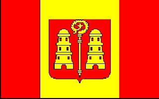
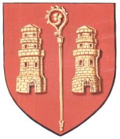

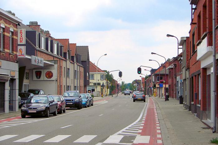
Kalmthout (Dutch pronunciation: [ˈkɑlmtɦʌu̯t]) is a municipality in the Belgian province of Antwerp. The municipality comprises the villages of Kalmthout, Achterbroek and Nieuwmoer. On January 1, 2007 Kalmthout had a population of 17,508. The total area is 59.45 square kilometres (22.95 sq mi). Kalmthout has a population density of 294 inhabitants per km².
In addition to Kalmthout itself, the municipality also contains the communities of Dorp-Heuvel, Heide, Achterbroek, and Nieuwmoer.
In addition to Kalmthout itself, the municipality also contains the communities of Dorp-Heuvel, Heide, Achterbroek, and Nieuwmoer.
Wikipedia article: http://en.wikipedia.org/wiki/Kalmthout
Nearby cities:
Coordinates: 51°24'11"N 4°27'34"E
- Zundert (municipality) 17 km
- Antwerp (municipality) 17 km
- Beveren (Municipality) 22 km
- Alphen-Chaam 26 km
- Breda 30 km
- Steenbergen (municipality) 34 km
- Geel 35 km
- Mol 41 km
- Tilburg 43 km
- Oirschot (Municipality) 53 km
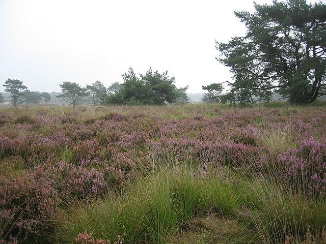
- De Zoom - Kalmthoutse Heide 3.9 km
- Eucharistic Heart College 4.4 km
- Santa Maria Assunta Church 5.3 km
- Kalmthout Wind farm 5.5 km
- Essenhoek 5.7 km
- Domein Hemelrijk 6.6 km
- Huijbergen (village borders) 6.7 km
- St. Vincent de Paul church, Horendonk 8 km
- Camping Zonneland 10 km
- North Brabant 48 km