K2 view point Machulu Broq
India /
Jammu and Kashmir /
Kargil /
World
/ India
/ Jammu and Kashmir
/ Kargil
World / Pakistan / Northern Areas / Northern Areas
panoramic view
Add category
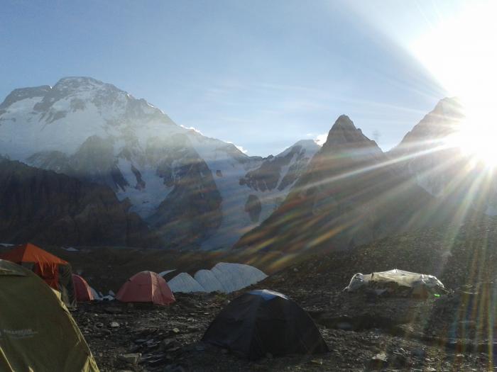
a unique and unmatched tourist destination
Nearby cities:
Coordinates: 35°13'37"N 76°21'10"E
- Pangong Tso Lake view 267 km
- Hausibek's viewpoint 381 km
- Canal View Housing Society 404 km
- Nampa Thang 712 km
- Dahare ko lekh 1053 km
- Pumori 7161 m (23,494 feet) 1275 km
- Beach View Park 1466 km
- Koyana Green County, Kathi, Tal. Patan, Dist. Satara 1990 km
- Golkonda Fortification 1995 km
- farrashband 2390 km
- barah velley 7.9 km
- Broq 8.1 km
- Haldi Gyayul 8.5 km
- New ghursay 10 km
- Ghazi Thang (Payindo) 12 km
- Khane Broq 14 km
- Haldi thagas and khane broq Boundary 16 km
- K 6 (7,282 m/23,891 ft) 28 km
- Charaksa Glacier 30 km
- Link Sar (7,041 m/23,100 ft) [ 33 km