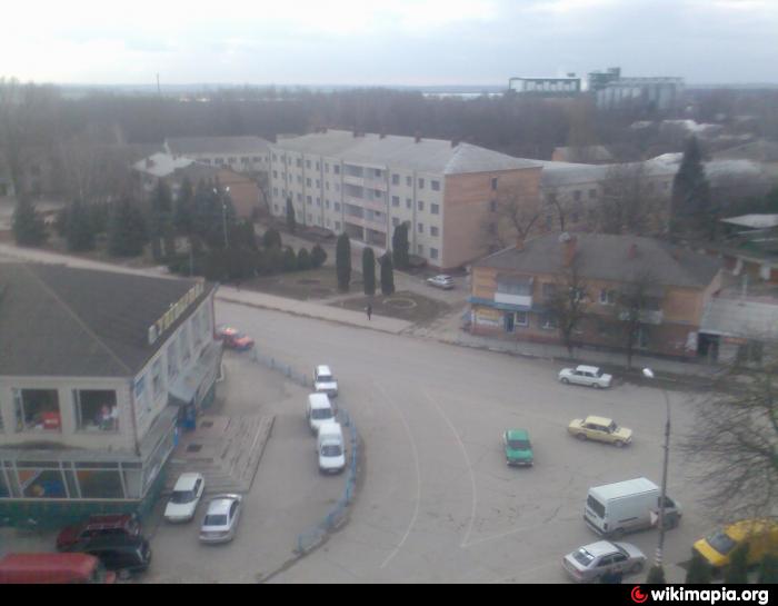
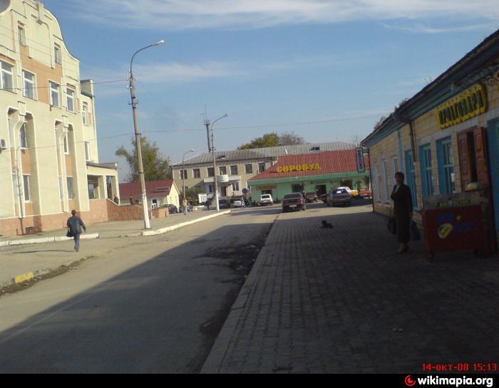
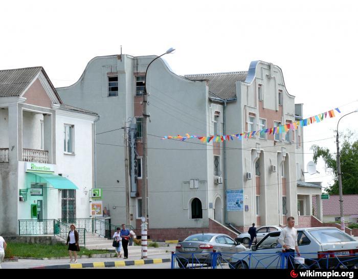
Chemerivtsi
Ukraine /
Khmelnytska /
Zakupne /
World
/ Ukraine
/ Khmelnytska
/ Zakupne
, 11 km from center (Закупне)
World / Ukraine / Khmel'nyts'kyy
town, district center


Chemerivtsi was first founded in 1565 and it received the Magdeburg rights in 1797. It received the status of an urban-type settlement in 1959.
Wikipedia article: http://en.wikipedia.org/wiki/Chemerivtsi
Nearby cities:
Coordinates: 49°0'43"N 26°21'9"E
- Yarmolyntsi 38 km
- Letychiv 100 km
- Kozova 103 km
- Romaniv 171 km
- Mlyniv 179 km
- Yemilchyne 233 km
- Rokytne 262 km
- Tomashhorod 268 km
- Zarichne 317 km
- Ostrów Lubelski 377 km
- Slavy Park 0.8 km
- Tsentralna vulytsya, 32 0.9 km
- Tsentralna vulytsya, 25 1 km
- Forest 1 km
- Tsentralna vulytsya, 44 1.1 km
- Park 1.2 km
- vulytsya Ivana Franka, 5 1.3 km
- Tsentralna vulytsya, 5 1.6 km
- Khmelnytske shose, 1 2.4 km
- Chemerivtsi Raion 5.6 km
Comments