Novosyolovo
Russia /
Krasnojarsk /
Balakhta /
World
/ Russia
/ Krasnojarsk
/ Balakhta
, 69 km from center (Балахта)
World / Russia / Krasnoyarsk
village, district center

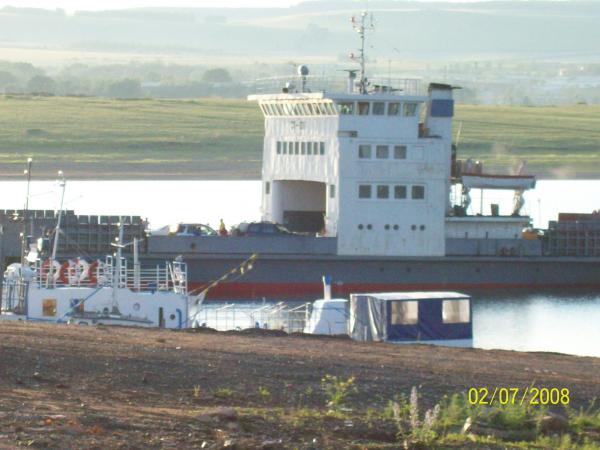
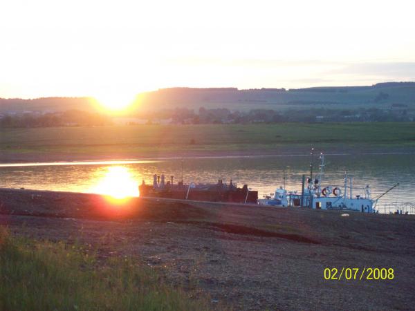
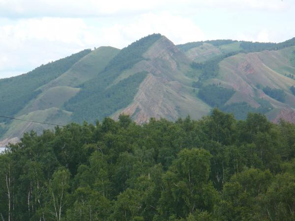
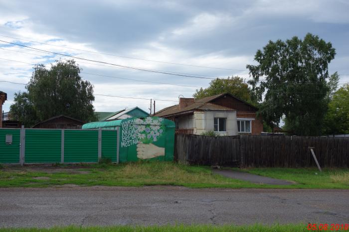
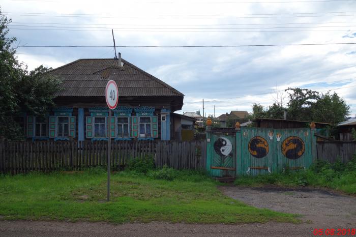

Rural locality (a selo) and the administrative center of Novosyolovsky District, Krasnoyarsk Krai, Russia. Population: 5,980 (2010 Census).
Wikipedia article: http://en.wikipedia.org/wiki/Novosyolovo,_Krasnoyarsk_Krai
Nearby cities:
Coordinates: 55°0'10"N 90°58'44"E