Aniva
Russia /
Sahalin /
Aniva /
World
/ Russia
/ Sahalin
/ Aniva
, 2 km from center (Анива)
World / Russia / Sakhalin
city, district center
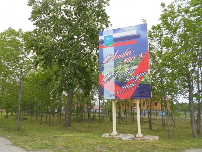
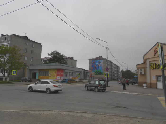
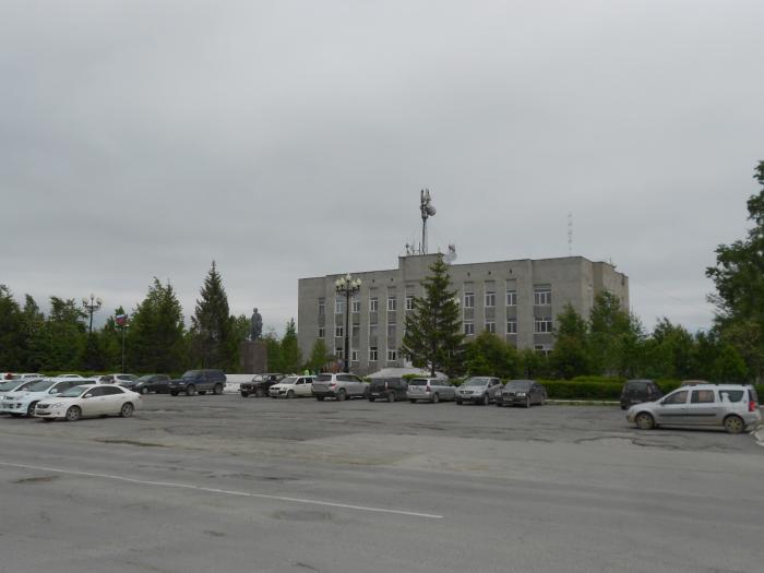
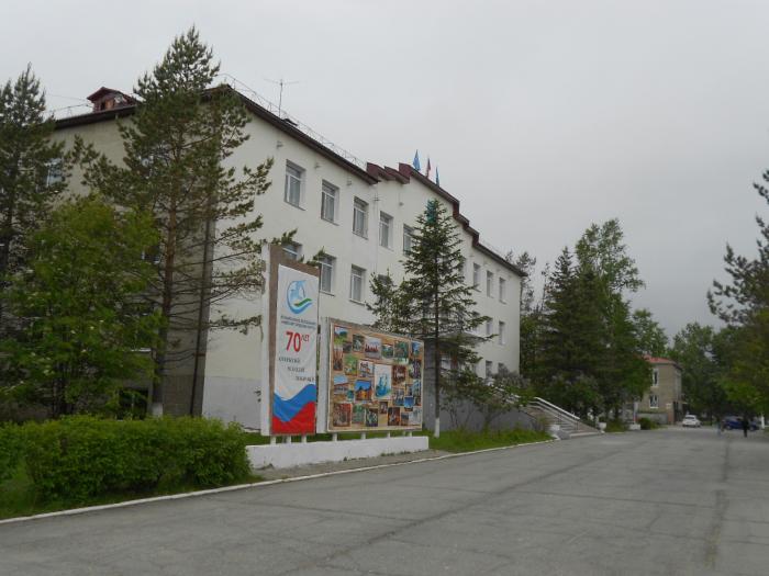
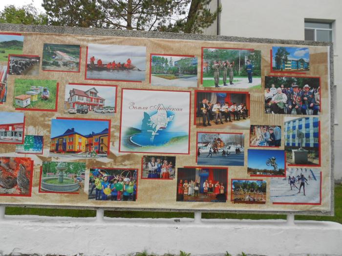
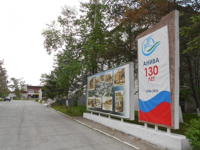
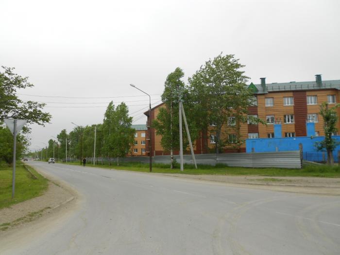
Coastal town and the administrative center of Anivsky District of Sakhalin Oblast, Russia, located on the coast of Aniva Bay in southern Sakhalin Island on the Lyutoga River, 37 kilometers (23 mi) south of Yuzhno-Sakhalinsk. Population: 9,115 (2010 Census).
It was founded in 1886 as the village of Lyutoga (Лютога). In 1905, it was ceded to Japan with the rest of the southern part of Sakhalin by the Treaty of Portsmouth and renamed Rutaka (留多加町, Rutaka-chō) by the Japanese. The village was recaptured by the Soviet Union in 1945; it was granted town status and renamed Aniva in 1946. The origin of the name of the bay is most likely associated with the Ainu words “en” and “willow”. The first is usually translated as “existing, located”, and the second as “mountain range, rock, peak”; thus, “Aniva” can be translated as “having ridges” or “located among the ridges (mountains)”.
It was founded in 1886 as the village of Lyutoga (Лютога). In 1905, it was ceded to Japan with the rest of the southern part of Sakhalin by the Treaty of Portsmouth and renamed Rutaka (留多加町, Rutaka-chō) by the Japanese. The village was recaptured by the Soviet Union in 1945; it was granted town status and renamed Aniva in 1946. The origin of the name of the bay is most likely associated with the Ainu words “en” and “willow”. The first is usually translated as “existing, located”, and the second as “mountain range, rock, peak”; thus, “Aniva” can be translated as “having ridges” or “located among the ridges (mountains)”.
Wikipedia article: http://en.wikipedia.org/wiki/Aniva
Nearby cities:
Coordinates: 46°43'37"N 142°31'2"E
- School yard 0.6 km
- Stadium 0.7 km
- Soccer field 0.9 km
- Zarechnaya st., 2 1 km
- Territory of the kindergarten 1.6 km
- ulitsa Pudova, 79 1.8 km
- mountain Mashkova 7.2 km
- Summer Camp "Sakhalin's Artek" 7.6 km
- mountain Malinka 9 km
- Aniva Bay 48 km