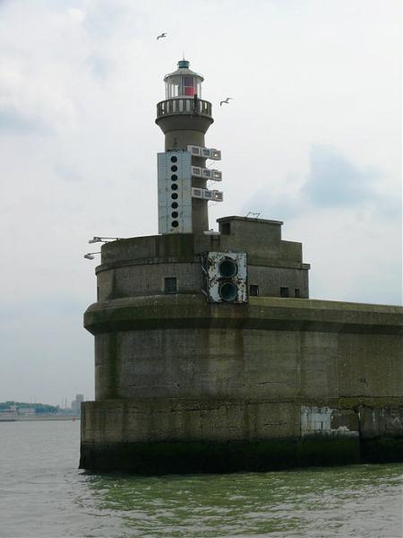
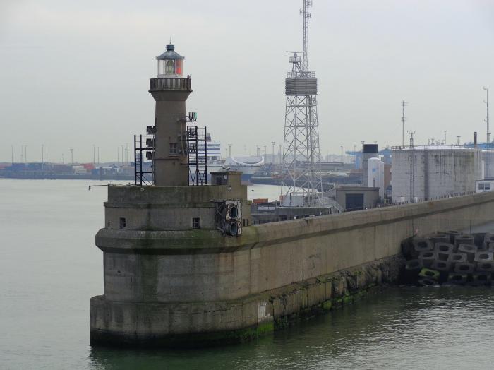
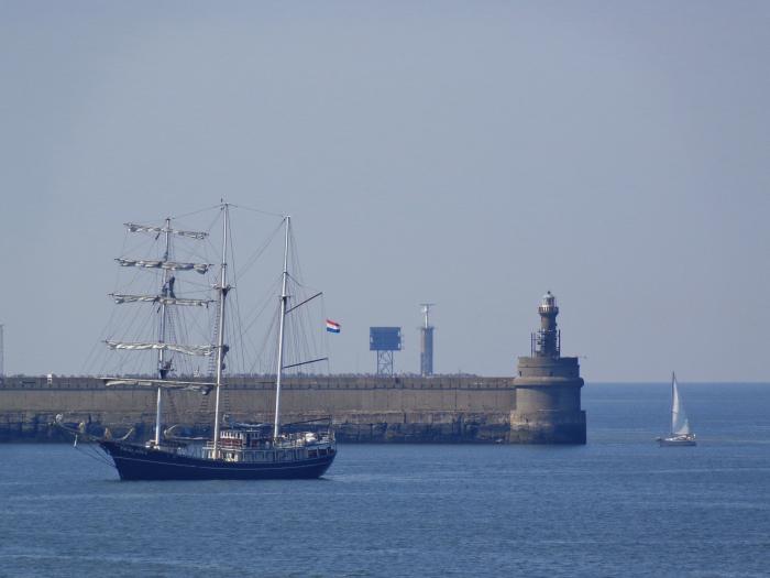
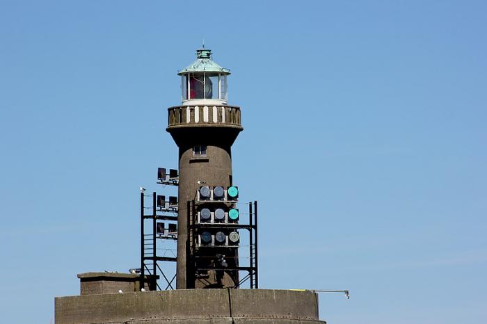
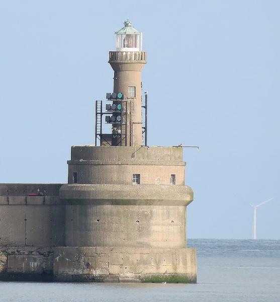
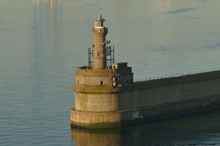
Vuurtoren Zeebrugge (Lissewege)
Belgium /
West-Flandern /
Knokke-Heist /
Lissewege /
Leopold II Dam
World
/ Belgium
/ West-Flandern
/ Knokke-Heist
vuurtoren, dam, stuwdam, golfbreker, lichtopstand / lichtbaken
Wikipedia-artikel: https://nl.wikipedia.org/wiki/Lijst_van_vuurtorens_in_België
Nearby cities:
Coördinaten: 51°20'51"N 3°12'10"E
- Lichtopstand Zeebrugge BB 1.7 km
- Lichtopstand Zeebrugge SB 2 km
- Lichtopstand Blankenberge Haven BB 7.5 km
- Lichtopstand Reigersbergsche Polder 70 km
- Lichtopstand Doel haven BB 74 km
- Lichtopstand 74 km
- Lichtopstand Den Oever Buitenhaven 217 km
- Lichtopstand Fischerbalje 342 km
- Lichtopstand Binnenrandzel 344 km
- Vuurtoren Balje (Unterfeuer) 483 km
- Windturbine 0.7 km
- Britanniadok 1.2 km
- Albert II Dok 1.3 km
- Sterneneiland 1.4 km
- Lichtopstand Zeebrugge BB 1.7 km
- Wielingendok 1.8 km
- Lichtopstand Zeebrugge SB 2 km
- Onvoorstelbare hoeveelheid gifgas ligt vlak voor Knokke in zee 4.2 km
- Haven Zeebrugge 6.1 km
- Knokke-Heist 7.3 km