Kotani
Bulgaria /
Smoljan /
Zlatograd /
World
/ Bulgaria
/ Smoljan
/ Zlatograd
, 7 km de la centru (Златоград)
Maailm / Grecia /
asezamant
Adaugă categorii
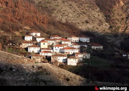
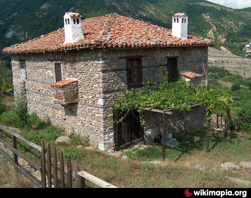
Satul a Municipiului Mykis
Oraşe în apropiere:
Coordonate: 41°19'0"N 25°5'57"E
- Koundouros 1.1 km
- Dourgouti 3.8 km
- Lavaro 6.9 km
- Akraios 7.4 km
- Kidaris 9 km
- Meander de râul Kompsatos 9 km
- Ano Thermes 12 km
- Municipiul Xanthi 29 km