Warrandyte, Victoria (Greater Melbourne)
Australia /
Victoria /
Melbourne /
Greater Melbourne
World
/ Australia
/ Victoria
/ Melbourne
World / Australia / Victoria
suburb, invisible


Warrandyte is a suburb in Melbourne, Victoria, Australia, 24 km north-east from Melbourne's central business district. Its Local Government Area is the City of Manningham. At the 2006 Census, Warrandyte had a population of 7393.
Warrandyte is bounded in the west by Mullum Creek and Target Road, in the north by the Yarra River, in the east by Jumping Creek and Anzac Road, and in the south by an irregular line from Reynolds Road north of Donvale, Park Orchards and Warrandyte South.
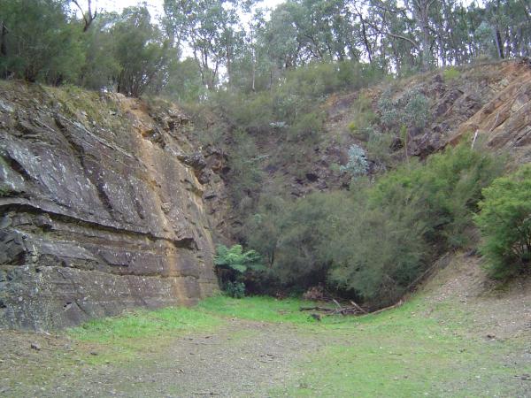
Warrandyte was founded as a Victorian town located in the once gold-rich rolling hills east of Melbourne, Victoria, and is now at the eastern extent of suburban Melbourne. Gold was first discovered in the town in 1851 and together with towns like Bendigo, Victoria and Ballarat, Victoria, led the way in gold discoveries during the Victorian gold rush. Today Warrandyte retains much of its past in its surviving buildings of the Colonial period and remains a twin community with North Warrandyte which borders the Yarra River to its north.
Today the town and suburb is well known for its residents' positive attitude towards the environment. Conservation programs run regularly and areas of land small and large have been set aside for conservation or ecological restoration purposes. The Warrandyte Festival is held every year in mid March, a parade, live music, food and shopping stalls and kids activities are some of the things that can be seen at the festival, which is one of the last remaining volunteer-run festivals in Victoria.
Warrandyte is bounded in the west by Mullum Creek and Target Road, in the north by the Yarra River, in the east by Jumping Creek and Anzac Road, and in the south by an irregular line from Reynolds Road north of Donvale, Park Orchards and Warrandyte South.
Warrandyte was founded as a Victorian town located in the once gold-rich rolling hills east of Melbourne, Victoria, and is now at the eastern extent of suburban Melbourne. Gold was first discovered in the town in 1851 and together with towns like Bendigo, Victoria and Ballarat, Victoria, led the way in gold discoveries during the Victorian gold rush. Today Warrandyte retains much of its past in its surviving buildings of the Colonial period and remains a twin community with North Warrandyte which borders the Yarra River to its north.
Today the town and suburb is well known for its residents' positive attitude towards the environment. Conservation programs run regularly and areas of land small and large have been set aside for conservation or ecological restoration purposes. The Warrandyte Festival is held every year in mid March, a parade, live music, food and shopping stalls and kids activities are some of the things that can be seen at the festival, which is one of the last remaining volunteer-run festivals in Victoria.
Wikipedia article: http://en.wikipedia.org/wiki/Warrandyte,_Victoria
Nearby cities:
Coordinates: 37°44'4"S 145°12'57"E
- Little River 77 km
- Cocoroc 93 km
- Tumby Bay 919 km
- Sleaford 927 km
- Ungarra 931 km
- Uley 942 km
- Brooker 951 km
- Cummins 961 km
- Coulta 967 km
- Coffin Bay 980 km
- Pound Bend Park - koalas 1.4 km
- Black's Flat (Warrandyte State Park) 1.7 km
- City of Manningham 4 km
- 07 Jamieson Road, Apple farm 4.2 km
- Clifford Park 5.9 km
- Yarra Valley Grammar 6.7 km
- City of Maroondah 8.8 km
- Nillumbik Shire 12 km
- Melbourne 18 km
- Yarra Ranges Shire 28 km