Jay Cooke State Park
USA /
Minnesota /
Wrenshall /
World
/ USA
/ Minnesota
/ Wrenshall
World / United States / Minnesota
park
Add category


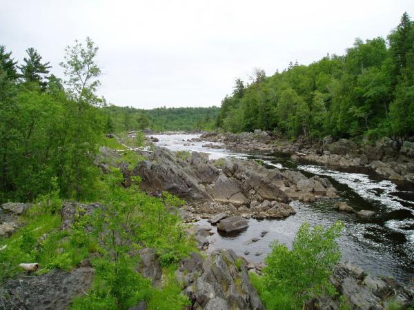

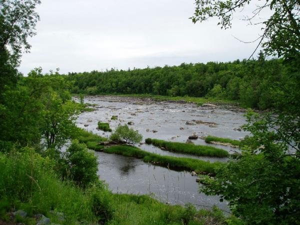

Wikipedia article: http://en.wikipedia.org/wiki/Jay_Cooke_State_Park
Nearby cities:
Coordinates: 46°38'55"N 92°21'16"W
- Nemadji State Forest 30 km
- General CC Andrews State Forest 48 km
- St. Croix State Forest 57 km
- Brule River State Forest 57 km
- St. Croix State Park 79 km
- Chequamegon National Forest 120 km
- Wild River State Park 121 km
- Copper Falls State Park 132 km
- Interstate State Park 137 km
- Big Island State Wildlife area 173 km
- Oldenburg Cascades 0.5 km
- Thompson Reservoir 4.5 km
- Fond du Lac Dam 4.8 km
- First rapids of the Saint Louis River (boundary of Wisconsin and Minnesota) 4.9 km
- MN Trunk Highway 23 Bisecting Wisconsin 5.2 km
- Mont duLac 5.7 km
- Fond Du Lac 7 km
- Chub Lake 8.5 km
- Hay Lake 10 km
- Fond du Lac Reservation 23 km