Tayuman (N140 / C-2)


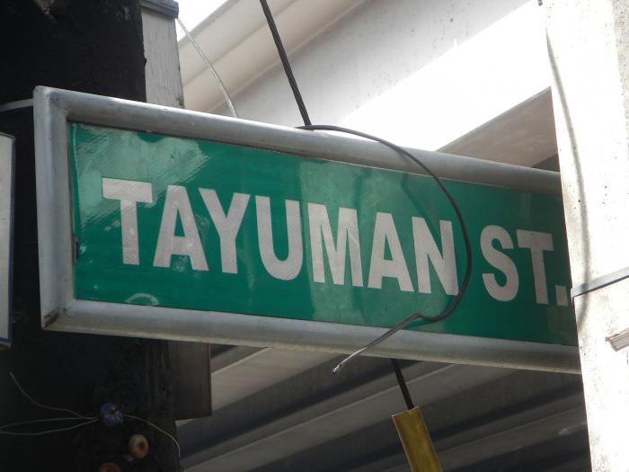
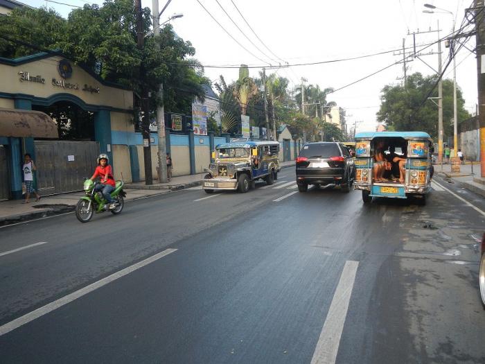
Tayuman Street is a four-lane east-west street in northern Manila, Philippines. It stretches 1.6 kilometers (0.99 mi) from the former San Lazaro Hippodrome in Santa Cruz to Barrio Pritil in Tondo district. The street is designated as part of Circumferential Road 2.
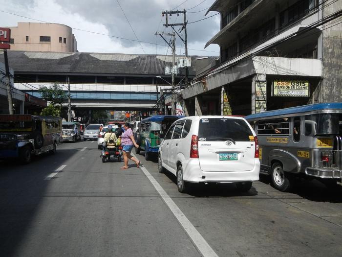
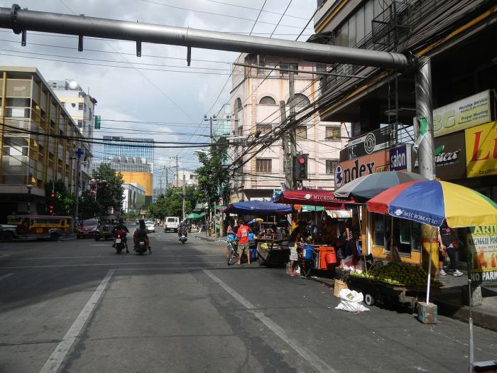
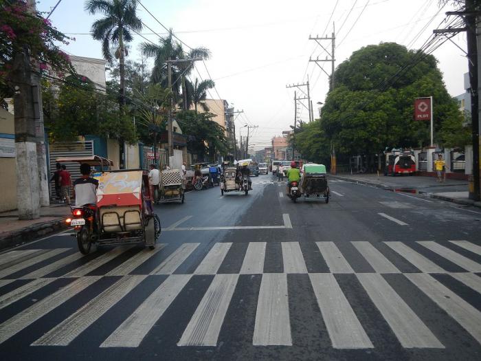
Tayuman begins at an intersection with Lacson Avenue in Santa Cruz district fronting SM City San Lazaro. It crosses Rizal Avenue, passing underneath the Tayuman LRT Station where it continues past the headquarters of the Department of Health into the residential areas of Santa Cruz and Tondo. The street ends at Juan Luna Street near Puregold Tayuman supermarket and extends west towards Manila North Harbor in Tondo as Capulong Street.
Tayuman begins at an intersection with Lacson Avenue in Santa Cruz district fronting SM City San Lazaro. It crosses Rizal Avenue, passing underneath the Tayuman LRT Station where it continues past the headquarters of the Department of Health into the residential areas of Santa Cruz and Tondo. The street ends at Juan Luna Street near Puregold Tayuman supermarket and extends west towards Manila North Harbor in Tondo as Capulong Street.
Tayuman (N140 / C-2), related objects
Wikipedia article: https://en.wikipedia.org/wiki/Tayuman_Street
Nearby cities:
Coordinates: 14°37'0"N 120°58'40"E
- San Lazaro Hospital 0.4 km
- Department of Health 0.4 km
- PNR Tutuban Station 0.7 km
- Santa Cruz 0.7 km
- Barrio Magdaragat 1.2 km
- Gagalangin 1.3 km
- Balut 2.1 km
- Tondo 2.2 km
- Port of Manila 3 km
- Manila Bay 22 km
- Verdad 2.6 km
- Felix Roxas 3 km
- Florpina 4.5 km
- Quezon Avenue (N170/R-7) 5.3 km
- Panay Avenue 5.8 km
- Ortigas Avenue (N60 / N184) 8.9 km
- Epifanio de los Santos Avenue (EDSA) (N1 (AH26) / C-4) 9 km
- J. P. Rizal 14 km
- Georgia 15 km
- Marikina - Infanta Highway (N59/R-6) 39 km