Usolye
Russia /
Perm /
Usolye /
World
/ Russia
/ Perm
/ Usolye
, 1 km from center (Усолье)
World / Russia / Perm'
city, district center
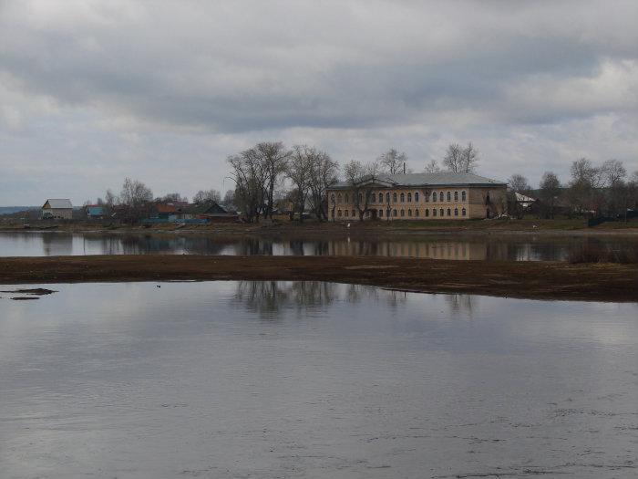
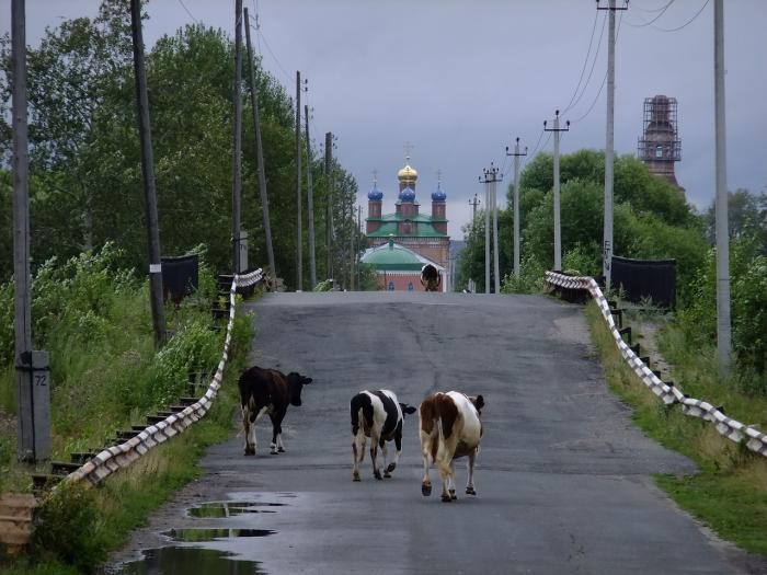
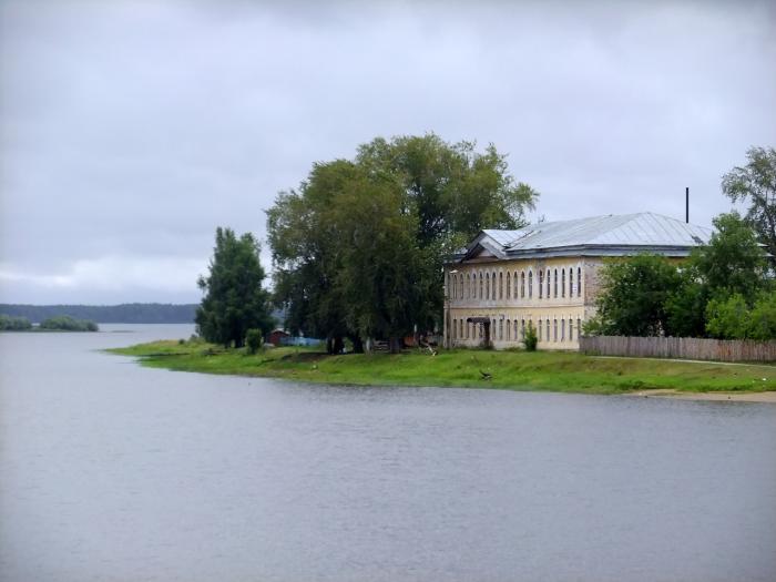
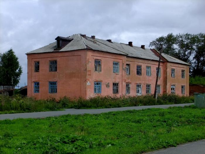
Town and the administrative center of Usolsky District in Perm Krai, Russia, located on the right bank of the Kama River, opposite of the city of Berezniki and 190 kilometers (120 mi) north of Perm, the administrative center of the krai. As of the 2010 Census, its population was 5,694.
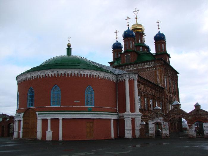
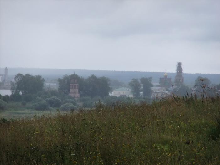
It was founded in 1606 as a salt mining settlement of Novoye Usolye (Но́вое Усо́лье) and grew into a major salt mining center by the beginning of the 19th century. Until the end of the 18th century, it remained the Stroganov family's main locality on the Kama River. In 1895, there were forty salt wells. In 1923, Usolye became the administrative center of Verkhnekamsky District of Ural Oblast. Between 1932 and 1940, it was a part of the town of Berezniki. It was granted town status in 1940. Due to the construction of Kama Reservoir, a portion of the town was flooded.
It was founded in 1606 as a salt mining settlement of Novoye Usolye (Но́вое Усо́лье) and grew into a major salt mining center by the beginning of the 19th century. Until the end of the 18th century, it remained the Stroganov family's main locality on the Kama River. In 1895, there were forty salt wells. In 1923, Usolye became the administrative center of Verkhnekamsky District of Ural Oblast. Between 1932 and 1940, it was a part of the town of Berezniki. It was granted town status in 1940. Due to the construction of Kama Reservoir, a portion of the town was flooded.
Wikipedia article: http://en.wikipedia.org/wiki/Usolye,_Usolsky_District,_Perm_Krai
Nearby cities:
Coordinates: 59°25'17"N 56°40'11"E
- Berezniki 17 km
- Perm 147 km
- Nizhny Tagil 238 km
- Yekaterinburg 341 km
- Izhevsk 344 km
- Yugorsk 416 km
- Kirov 416 km
- Syktyvkar 425 km
- Kamensk-Uralsky 440 km
- Tyumen 558 km
- Вертеринарка 0.7 km
- Усольский ЛесХоз 1.6 km
- БурВодСтрой 1.9 km