Rotselaar (municipality)
Belgium /
Flamisch Brabant /
Rotselaar /
World
/ Belgium
/ Flamisch Brabant
/ Rotselaar
World / Belgium / Vlaanderen / Vlaams Brabant / Leuven
municipality, draw only border
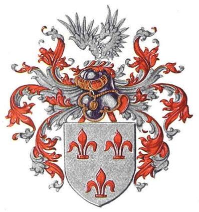
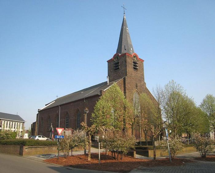
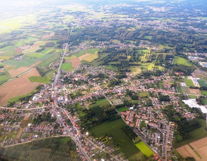

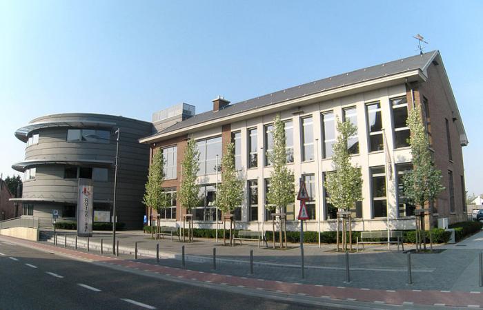
Rotselaar (Dutch pronunciation: [ˈrɔtsəlaːr]) is a municipality located in the Belgian province of Flemish-Brabant, near the convergence of the Demer and the Dijle. Since January 1, 1977 the municipality comprises the towns of Rotselaar proper, Werchter and Wezemaal.
Wikipedia article: http://en.wikipedia.org/wiki/Rotselaar
Nearby cities:
Coordinates: 50°57'26"N 4°44'12"E
- Geel 34 km
- Mol 46 km
- Antwerp (municipality) 59 km
- Beveren (Municipality) 60 km
- Alphen-Chaam 67 km
- Zundert (municipality) 68 km
- Oirschot (Municipality) 73 km
- Tilburg 77 km
- Breda 77 km
- Steenbergen (municipality) 87 km
- 'T meer van Rotselaar 0.7 km
- Danone Rotselaar 1.8 km
- Air-cable transition point 3.7 km
- Hambos 4.8 km
- Holsbeek (municipality) 5 km
- Stageco Belgium 5.6 km
- Kesselberg 5.7 km
- Kesseldal 6.4 km
- Municipal cemetery 7.1 km
- Herent (municipality) 7.8 km