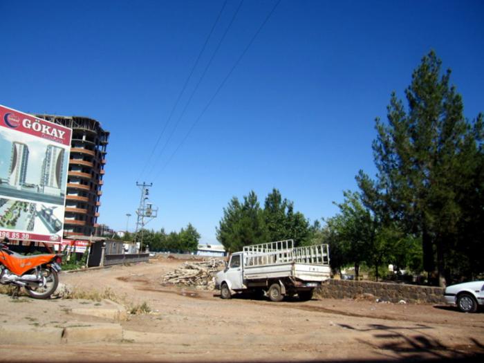
Siverek
Turkey /
Sanliurfa /
Siverek /
World
/ Turkey
/ Sanliurfa
/ Siverek
World / Turkey / Sanliurfa
city, district


Siverek (kurdish: Siwêreg)is a town and district in the south-east of Turkey, in Şanlıurfa Province. Population 107,634 (town); 247,000 (district) (2000 census).
Siverek is in Şanlıurfa province but closer geographically to the large city of Diyarbakır (approx 83 km). In the Ottoman Empire period Siverek was within Diyarbekir Vilayet, and the people of Siverek are said to be reluctant to accept being part of Şanlıurfa even today.
The people are mostly ethnic Kurd. There is also a Turkmen community in the village of Karacadağ and a small number of Arabs. The people are poor and live by working in the fields here and as share-croppers in the villages of neighbouring Diyarbakır.
Prior to the Armenian Genocide of 1915-1923 this was Armenian city of Sevaverak ( in Armenian means: Black Ruins ) . Once the city's population was exterminated, the city was destroyed . Then settled here Turks and Kurds . Since the 1925, the city was renamed in Siverek - the name means nothing in Turkish , but consonant with the Turkish transcription. The same thing happened to almost all the names of eastern half of present-day Turkey , which even at various Ottoman maps was called Western Armenia . The matter is, a Turkish sultan had a courtier-buffoon who also liked to travel. Hes name was Evliya Çelebi . His favorite hobby was cartography , or rather he loved to fool around by distorting any non-Turkish toponyms and recasting them under Turkish ones . After the Armenian Genocide a large territory ( can be compared with Britain ) were emptied but their place names were not consonant with Turkish ones . So Kemalists found nothing better than to make the dream of Sultan's courtier-buffoon come true . The new toponyms given to multiple Armenian towns and villages correspond exactly to those that are on the maps made by Evliya Çelebi in 1671-78. Today Sevaverak is a town and district center at the north of Sanliurfa province of Turkey.
Wikipedia article: http://en.wikipedia.org/wiki/Siverek
Nearby cities:
Coordinates: 37°45'1"N 39°19'32"E
- Malatya Metropolitan Municipality 141 km
- Kahramanmaraş Metropolitan Municipality 245 km
- Sivas 316 km
- Kayseri 380 km
- Adana Metropolitan Municipality 380 km
- Niksar 402 km
- Niğde 422 km
- Bor 430 km
- Mersin Metropolitan Municipality 443 km
- Aksaray 483 km
- Siverek Fortress 0.9 km
- 107th Artillery Regiment 1 km
- Electrical sub-station 1.8 km
- Gerger District 42 km
- Şanlıurfa Province 52 km
- Atatürk Dam Lake 53 km
- Adıyaman Province 86 km
- Diyarbakır Province 89 km