Vulcan Road (Leicester)
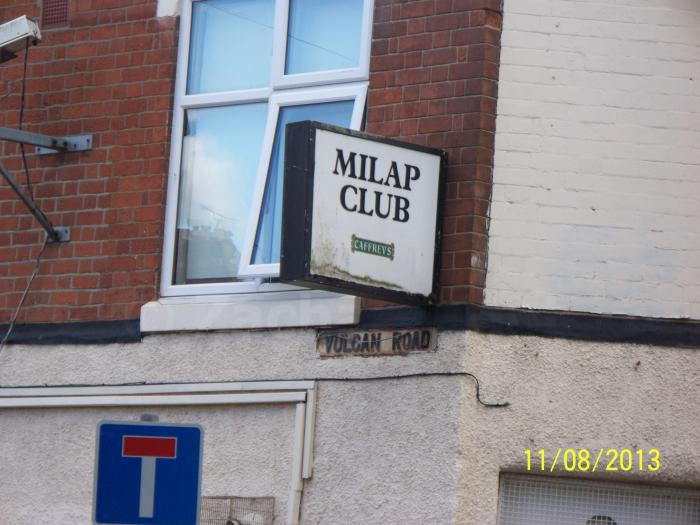
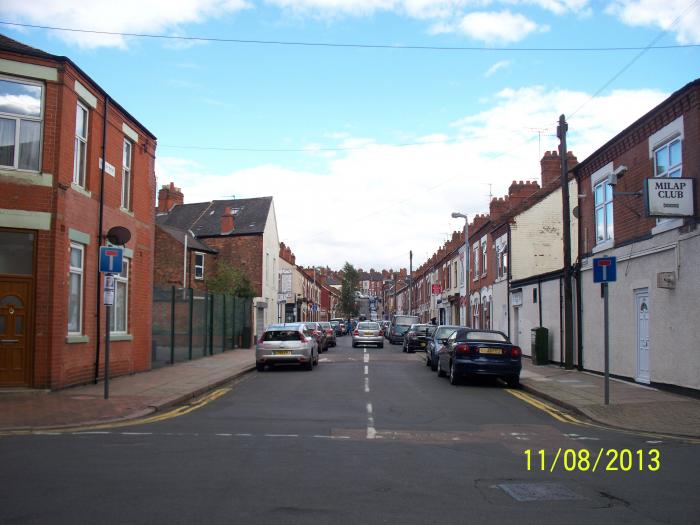
Situated in the Highfields area of Leicester, Vulcan Road is a mix industrial and residential street road with moderate to low levels of traffic filtering through the area and it is consisted of industrial units to the northern part of the road and residential terraced houses to the southern part. Vulcan Road starts from Humberstone Road (A47) and finishes at a junction with Hartington Road.
Vulcan Road, related objects
Nearby cities:
Coordinates: 52°38'17"N 1°6'49"W
- Millingtons 0.2 km
- The Junction - patron parking 0.5 km
- The Junction 0.5 km
- The Junction - St. Georges Retail Park 0.5 km
- Cobden Industrial Estate 0.5 km
- St Matthews 0.7 km
- Uplands Infant & Junior School 0.7 km
- Spinney Hill Park 0.7 km
- Moat Community College 0.7 km
- Highfields 0.7 km
- Bedford Street North 1 km
- Stanley Drive 2.5 km
- Headland Road 2.6 km
- B667 Evington Lane 2.8 km
- Thurmaston Lane 2.8 km
- Lower Keyham Lane 2.9 km
- A47 Uppingham Road 3.2 km
- Netherhall Road 3.7 km
- B582 New Street 4.9 km
- Gartree Road 6.5 km