Ortigas Avenue (N60 / N184)


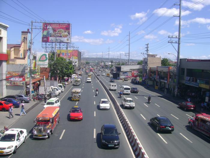
The Ortigas Avenue is a 15.5 km (9.6 mi) highway traversing through the eastern part of Metro Manila and the western part of Rizal province. It is one of the busiest highways in Metro Manila surpassing Epifanio de los Santos Avenue.
The western terminus of the highway is at San Juan City then travels along the cities of Quezon City and Pasig, municipalities of Cainta and Taytay and ends at city of Antipolo.
The western terminus of the highway is at San Juan City then travels along the cities of Quezon City and Pasig, municipalities of Cainta and Taytay and ends at city of Antipolo.
Ortigas Avenue (N60 / N184), related objects
Wikipedia article: http://en.wikipedia.org/wiki/Ortigas_Avenue
Nearby cities:
Coordinates: 14°35'39"N 121°3'26"E
- EDSA-Ortigas Intersection 0.1 km
- Robinsons Galleria 0.4 km
- East Greenhills Subdivision 0.5 km
- Asian Development Bank Main Building 0.7 km
- Asian Development Bank (ADB) 0.7 km
- Wack Wack Golf & Country Club 0.8 km
- SM Megamall 1.1 km
- Ortigas Center 1.3 km
- San Miguel Corporation - Head Office Complex 1.3 km
- Palladium 1.5 km
- Makati Avenue (C-3) 5.2 km
- Zapote 5.6 km
- Ayala Avenue 5.7 km
- Carlos P. Garcia Avenue (N11 / C-5) 5.9 km
- Senator Gil Puyat Avenue (Buendia Avenue) (N190) 6.5 km
- Mendiola 6.9 km
- P. Casal (N180 / C-1) 7.4 km
- Roxas Boulevard (N61 / R-1) 8.7 km
- Periwinkle 20 km
- Sugar Road 33 km