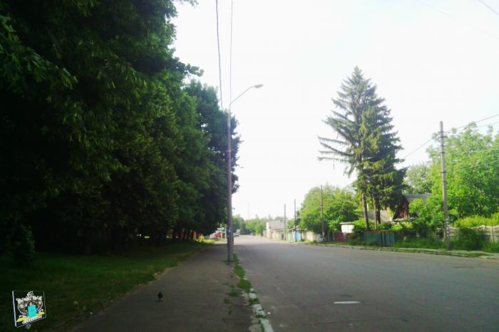
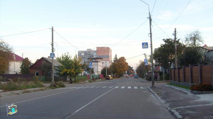
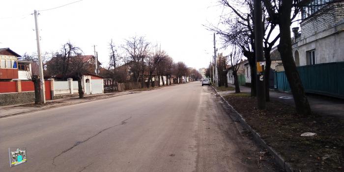
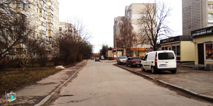
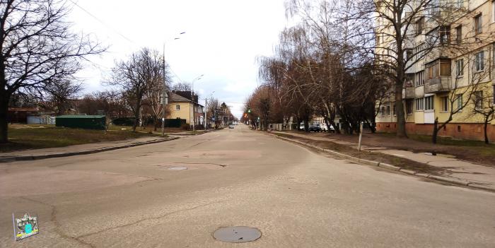
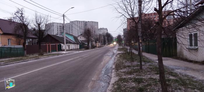
vulytsia Ivana Mazepy (Zhytomyr)
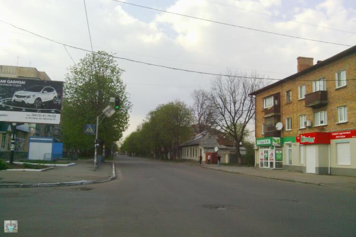
Mazepa st. The former name - st. Manuilskogo.
Ivan Mazepa Kaledynskyy (* March 20, 1639, Mazepa - † September 21, 1709, pan) - Ukrainian soldier, politician and statesman. Cossack Hetman, the head of the Cossack state on the Left Bank (1687-1704) [1] and the whole Dnieper Ukraine (1704-1709) [2]. Prince of the Holy Roman Empire (1707-1709).
Grounds rename, orders Mayor of Zhytomyr number 112 of February 19, 2016 "On renaming toponymic objects and dismantle memorials in the city. Zhytomyr." (According to the law "On discommunization» zakon3.rada.gov.ua/laws/show/317-19).
vulytsia Ivana Mazepy, related objects
Nearby cities:
Coordinates: 50°15'35"N 28°40'51"E
- Lawn 0.1 km
- Lawn 0.2 km
- Territory School no. 20 0.2 km
- Territory of the kindergarten no. 35 0.4 km
- Khlibnyi market 0.5 km
- Territory preschool educational establishment no. 39 0.5 km
- Kashperivka 0.5 km
- Center 1.4 km
- Zhytomyr city community 3.5 km
- Zhytomyr Raion 7.6 km
- vulytsia Dmytrivska 0.7 km
- ploshcha Korolova 1.3 km
- provulok Sinnyi Pershyi 1.6 km
- bulvar Staryi 1.7 km
- vulytsia Kafedralna 2 km
- vulytsia Trypilska 2.3 km
- vulytsia Kybalchychia 2.5 km
- vulytsia Vilskyi Shliakh 5.5 km
- M-21 (E583) 123 km
- M-06 (E40) 123 km