Tagaytay - Nasugbu Highway (N407)
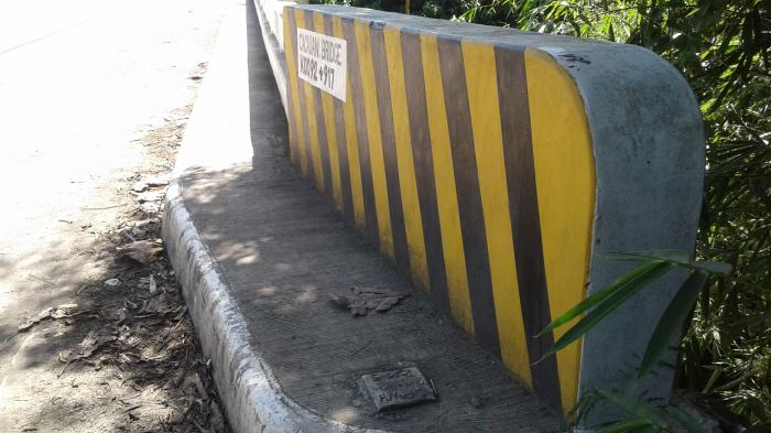


The Tagaytay – Nasugbu Highway (or Tagaytay – Nasugbu Road) is a 43.86-kilometre (27.25 mi), two-to-four lane, secondary highway in the provinces of Cavite and Batangas, Philippines, that connects the city of Tagaytay in Cavite and the municipality of Nasugbu in Batangas.
Under the implementation of the route numbering system by the Department of Public Works and Highways in 2014, the entire road is a component of National Route 410 (N410) in the Cavite province, and National Route 407 (N407) in the Batangas province of the Philippine highway network.
Under the implementation of the route numbering system by the Department of Public Works and Highways in 2014, the entire road is a component of National Route 410 (N410) in the Cavite province, and National Route 407 (N407) in the Batangas province of the Philippine highway network.
Tagaytay - Nasugbu Highway (N407), related objects
Wikipedia article: https://en.wikipedia.org/wiki/Tagaytay–Nasugbu_Highway
Nearby cities:
Coordinates: 14°4'22"N 120°44'46"E
- Sitio Balite 0.3 km
- Sitio CDCP 3.3 km
- Sitio Sibukawan 3.9 km
- Sitio Pasong Kawayan 4.2 km
- Sitio Tala 6 km
- Poblacion Tuy 6.3 km
- Sitio Halang 6.6 km
- Central Azucarera Don Pedro (CADP) Inc. 9 km
- Mount Miyauan 10 km
- Cavite 25 km
- Marahan-Alfonso Road 13 km
- Brgy. Pulo 17 km
- Maragondon - General Emilio Aguinaldo Road 17 km
- Kaytambog Access Road 18 km
- Brgy. Pulo 18 km
- Diokno Highway (N410) 19 km
- Lintiw St. 20 km
- Plaridel 20 km
- Juanito Remulla Sr. Road (Governor's Drive) 26 km
- Block 6 27 km