V. Mapa (N141 / R-5)


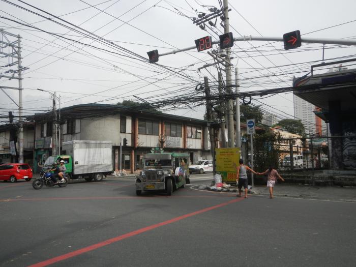
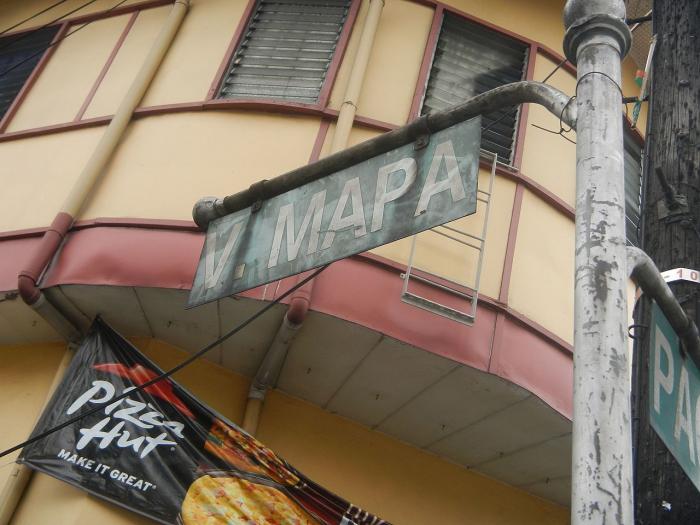
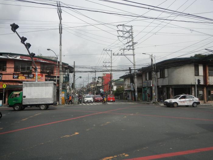
Victorino Mapa Street, also known by its short form V. Mapa Street, is the main north-south road in Santa Mesa district in the City of Manila, Philippines. The street, including its eastern extension, runs for 1.6 kilometers (1 mile) from the junction with Magsaysay Boulevard in the north to Pat Antonio Street in the southeast by the San Juan River that serves as the district's border with San Juan and Mandaluyong.
V. Mapa (N141 / R-5), related objects
Wikipedia article: http://en.wikipedia.org/wiki/Victorino_Mapa_Street
Nearby cities:
Coordinates: 14°35'57"N 121°1'1"E
- NHA Compound 0.3 km
- ATI Sta. Mesa Container Yard 0.4 km
- Santa Mesa 0.5 km
- Buddhist Tzu Chi Campus 0.5 km
- Simon Enterprises, Inc. 0.6 km
- SM City Sta. Mesa 0.6 km
- Landcom Village 0.6 km
- SM City Sta. Mesa Main Building 0.6 km
- Morningside Terrace Subdivision 0.7 km
- Pandacan 1.5 km
- Mendiola 2.6 km
- P. Casal (N180 / C-1) 3.1 km
- Zapote 3.7 km
- Makati Avenue 4.6 km
- Senator Gil Puyat Avenue (Buendia Avenue) (N190) 4.6 km
- Ayala Avenue 4.8 km
- Roxas Boulevard (N61 / R-1) 6.1 km
- Carlos P. Garcia Avenue (N11 / C-5) 7.6 km
- Periwinkle 19 km
- Sugar Road 33 km