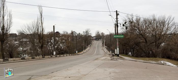
vulytsia Troianivska (Zhytomyr)

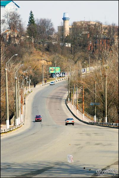
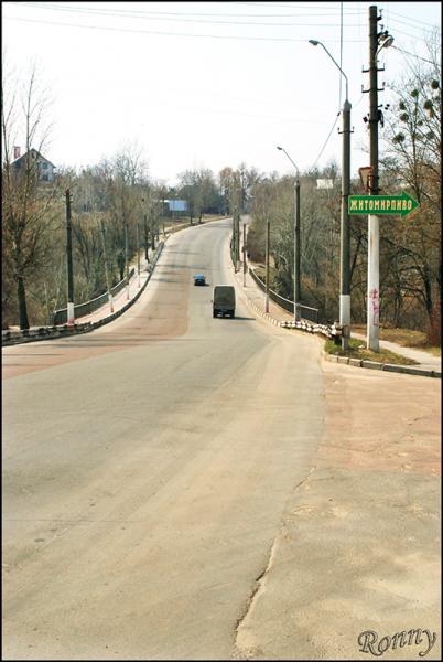
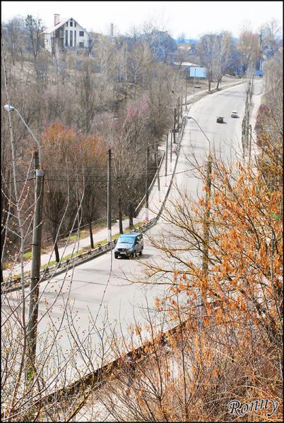
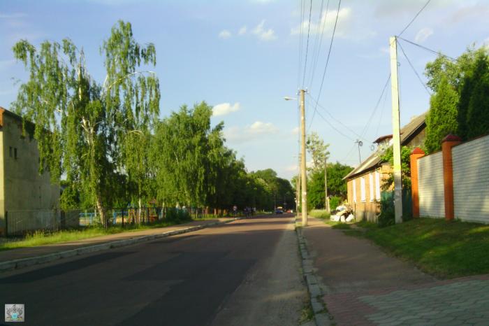
Troianivska st. The former name - st. Yakir.
New compass place name associated with the settlement of Zhytomyr region - Troianiv.
Grounds rename, orders Mayor of Zhytomyr number 112 of February 19, 2016 "On renaming toponymic objects and dismantle memorials in the city. Zhytomyr." (According to the law "On discommunization» zakon3.rada.gov.ua/laws/show/317-19).
vulytsia Troianivska, related objects
Nearby cities:
Coordinates: 50°15'17"N 28°38'42"E
- Forest 0.1 km
- Territory of the state archive 0.4 km
- Podil 0.4 km
- Malovanka 0.5 km
- Zamkova Hora 0.6 km
- Forest 0.6 km
- Zakamianka 0.9 km
- Park of 30 Years of The Victory 0.9 km
- Nova Rudnia 1 km
- Center 1.2 km
- vulytsia Trypilska 0.4 km
- vulytsia Kafedralna 0.7 km
- ploshcha Korolova 1.5 km
- bulvar Staryi 1.7 km
- provulok Sinnyi Pershyi 2 km
- vulytsia Dmytrivska 2.5 km
- vulytsia Vilskyi Shliakh 4.4 km
- vulytsia Kybalchychia 4.5 km
- M-06 (E40) 121 km
- M-21 (E583) 122 km