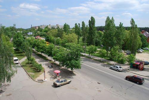
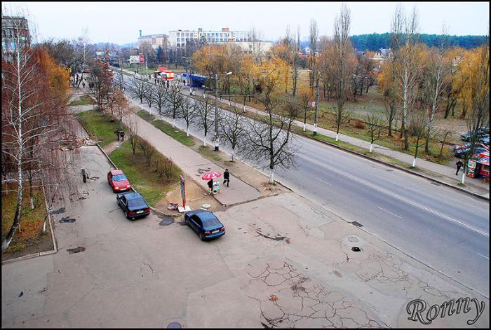
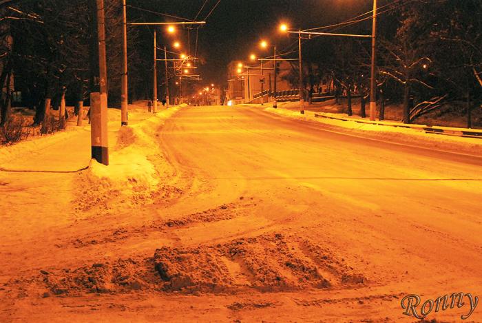
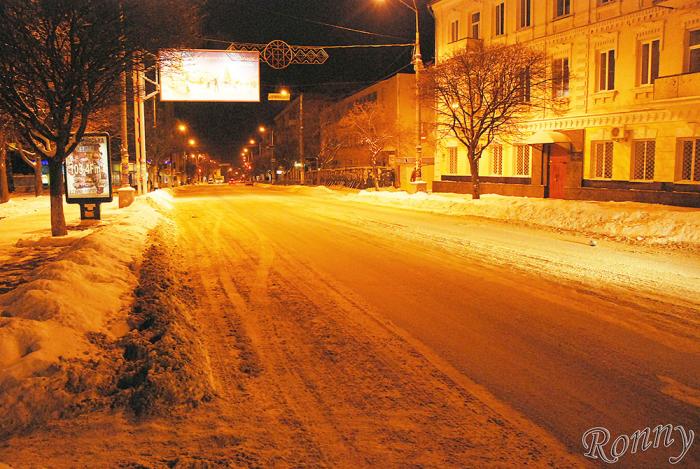
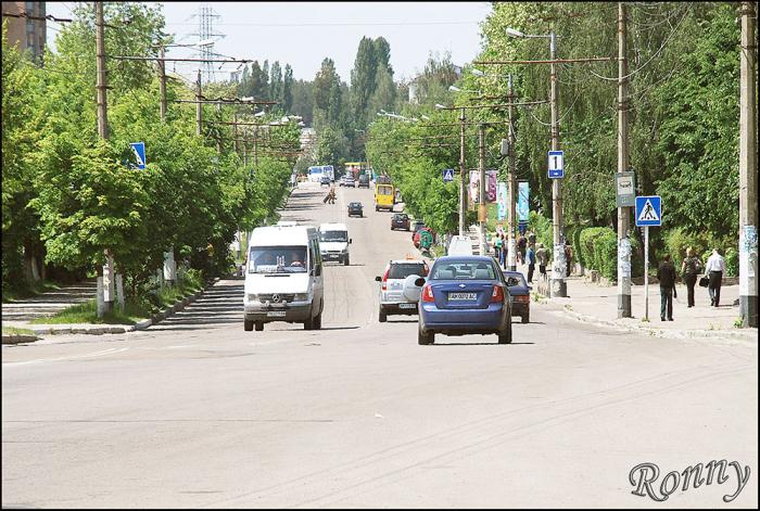
vulytsia Chudnivska (Zhytomyr)
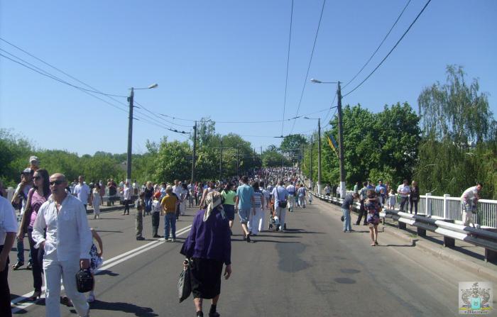
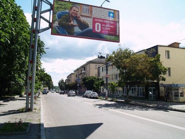
Chudnivska st. The former name - st. Chernyakhovsky. (St. Chernyakhovskogo was divided into two separate streets: in the beginning - st. Lech Kaczynski (to the Chudnovsky bridge) and then - st. Chudnovska.)
Historical compass place name associated with the historic town Chudnov, the highest point on the old harbor historic waterway through Teterev Zhytomyr - Korostyshiv - Radomishl the Dnieper, known since the days of the Greeks (I century AD., «Teretenia»)
Grounds rename, orders Mayor of Zhytomyr number 112 of February 19, 2016 "On renaming toponymic objects and dismantle memorials in the city. Zhytomyr." (According to the law "On discommunization» zakon3.rada.gov.ua/laws/show/317-19).
vulytsia Chudnivska, related objects
Nearby cities:
Coordinates: 50°14'43"N 28°37'59"E
- Territory of ZhDTU 0.3 km
- Forest 0.5 km
- Forest 0.6 km
- Stara Rudnia 0.7 km
- Korbutivka 0.8 km
- Pavlykivka 0.9 km
- Nova Rudnia 0.9 km
- Malovanka 1 km
- Forest 1.7 km
- Vidsichne Reservoir 6.4 km
- vulytsia Trypilska 1.8 km
- vulytsia Kafedralna 1.8 km
- bulvar Staryi 2.4 km
- ploshcha Korolova 2.5 km
- provulok Sinnyi Pershyi 3.4 km
- vulytsia Dmytrivska 3.5 km
- vulytsia Vilskyi Shliakh 5.2 km
- vulytsia Kybalchychia 5.2 km
- M-21 (E583) 121 km
- M-06 (E40) 121 km