A444 Coton Road (Nuneaton)
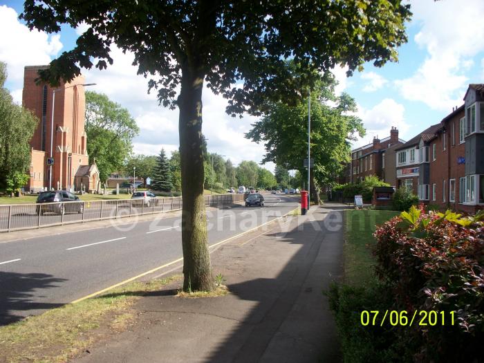
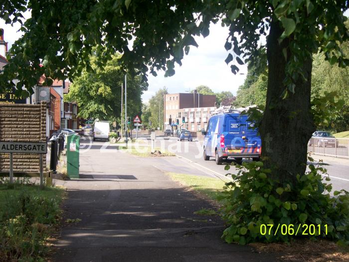
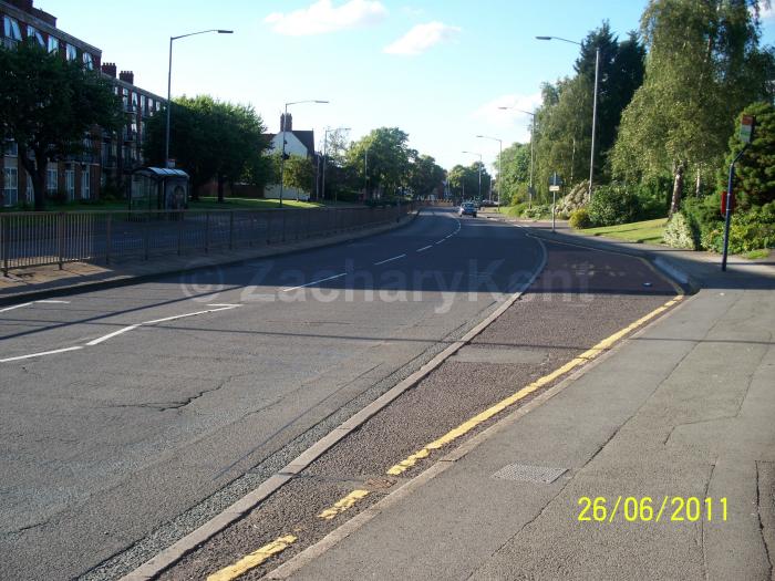
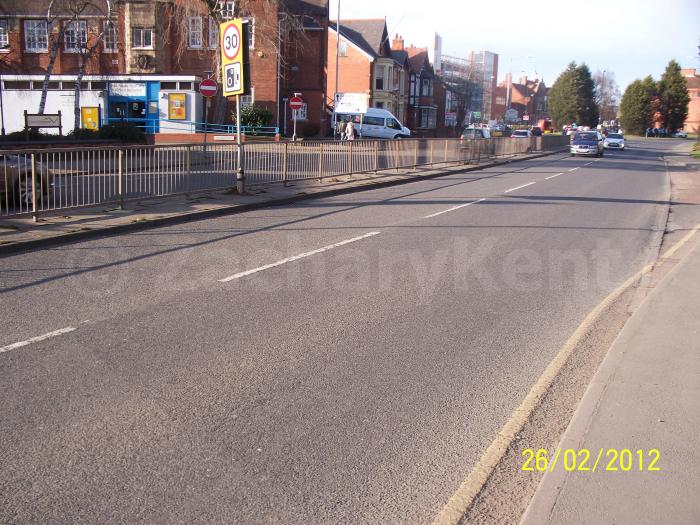
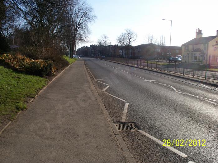

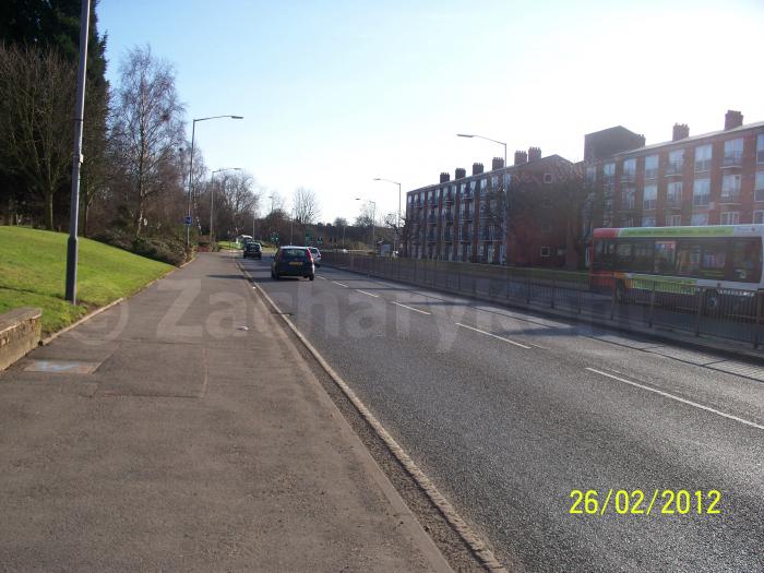
There are two Coton Road’s in Nuneaton, this Coton Road is a part of the A444 road network. It starts from the roundabout junction with Roanne Ringway, Vicarage Street and Coton Road (town centre). Then it finishes at the roundabout junction with Coventry Road, Avenue Road, and Chilvers Rise (A444).
A444 Coton Road, related objects
Wikipedia article: http://en.wikipedia.org/wiki/A444_road
Nearby cities:
Coordinates: 52°31'3"N 1°28'2"W
- Riversley Park 0.2 km
- The Parade 0.3 km
- Chilvers Coton Community School and Nursery's Grounds 0.4 km
- Abbey 1 km
- Wem Brook 1.3 km
- Caldwell 1.5 km
- St Nicolas 2 km
- Chilvers Coton 2.8 km
- Arbury 3.5 km
- Warwickshire 24 km
- Edward Street 0.3 km
- Coton Arches Roundabout 0.4 km
- Princes Street 0.4 km
- A444 Roanne Ringway 0.5 km
- Bond Street 0.8 km
- B4102 Queens Road 0.9 km
- Manor Court Road 1.1 km
- A47 The Long Shoot 3.1 km
- Ashby Road 21 km
- M6 108 km