Wikimapia is a multilingual open-content collaborative map, where anyone can create place tags and share their knowledge.

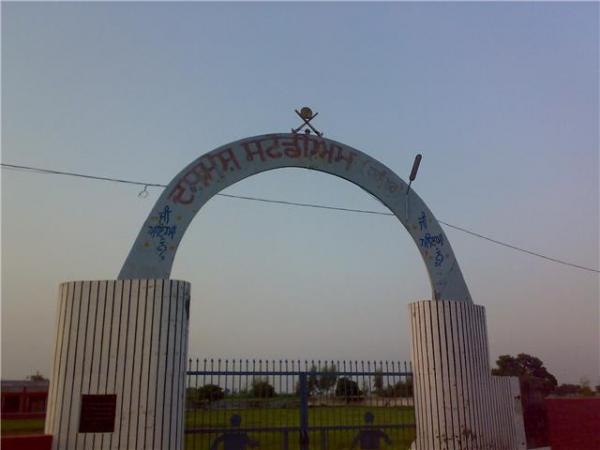
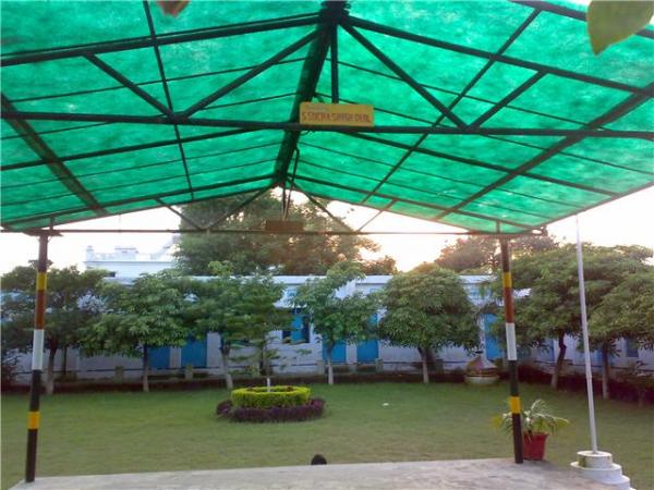
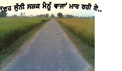
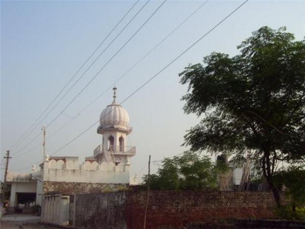
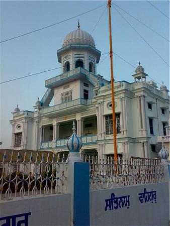
Haripur ਹਰੀਪੁਰ(ਆਦਮਪੁਰ)

India / Punjab / Adampur / roriwala

Outlined by Mandeep Singh Goraya and Kulvinder Singh Goraya
Nearby cities:
Coordinates:   31°23'22"N   75°42'46"E

Comments

  • SJ (guest)
    Saheed Rupinder Singh Deol (Hans Kalan Encounter 1991) Da Pind
  • kvrdeol
    Haripur is 2nd largest pind in jalandhar district by population and area wise/ It produce many freedom fighters soldiers, scholars, writers various movement in punjab history explores by Haripur public.It has 3 pattis called Khera, Roriwala and Dhialiana It has 12grade school.2 banks ,sewing center, Hospital vetenarians hospital 2 milk centres lots shopping centres,public phone outlets,water supply system, stadium,lots clinics,lake,7-8 gurughars, mosque manders,aganwari centresand lot lot more to tell BEAUTIFUL FARM LAND and scenic to explore.it produces 2 babbars, 1 kharku in religious movement 1 paramvir chakra and many others stories 2 tell Plse visit the Haripur......HEARTBeat of NRI S..KVS DEOL
  • Jit Doava
    hanji bhaji kise taim shade bade vi kherde wale haripur rahinde si par ajkal hisar haryana te me sweden baki sade dade de bhai de parivar narangpur bich rahinde ne deol parivar . chote hunde ki bar adampur to tur ke narangpur jande si . satsri akal RANYODH DEOL
  • Kvs Deol (guest)
    Ohh thanks ji i heard about your family bit nice to know .. we all spread out now adays .. but our heart still lives in back there in butiful village .. m living in Vancouver Canada though.. thanks again
This article was last modified 15 years ago