USA /
New Jersey /
Jersey City /
New York City, New York


Red Hook (New York City, New York)
World / USA / New Jersey / Jersey City World / United States / New Jersey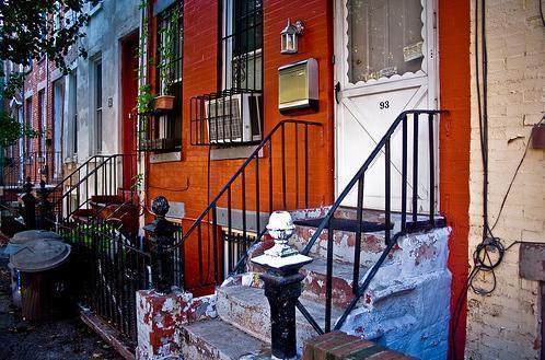
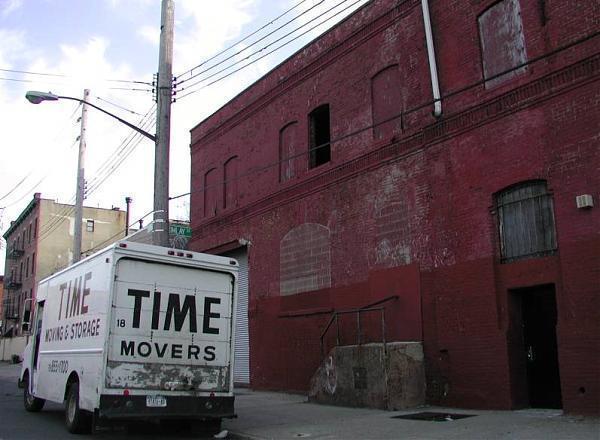
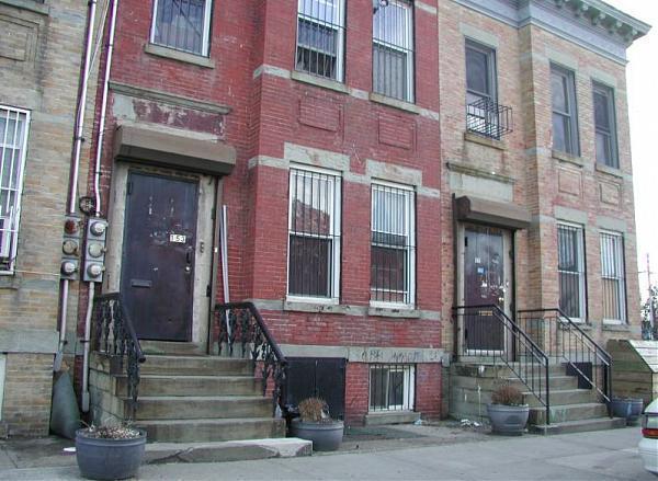
Red Hook is a neighborhood in the New York City borough of Brooklyn. Before annexation into Brooklyn, Red Hook was a separate village. It is named for the red clay soil and the point of land projecting into the East River. The village was settled by the Dutch colonists of New Amsterdam in 1636, and named Roode Hoek. In Dutch "Hoek" means "point" or "corner" and not the English hook (i.e. NOT something curved or bent). Today, the area is home to about 11,000 people.
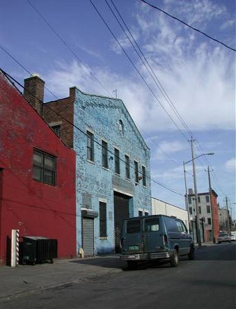
Red Hook is part of the area known as South Brooklyn. It is actually a peninsula formed by the Gowanus Canal at the southern edge of Downtown Brooklyn, and is north of the geographic center of the borough.
Red Hook is connected to Manhattan by the vehicles-only Brooklyn-Battery Tunnel, whose toll plaza and approaches separate it from Carroll Gardens to the north. Subway service in the area is sparse, with the F along Smith Street and curving east, and continuing along Ninth Street. The B61 bus runs from Red Hook through Downtown Brooklyn, Williamsburg, Brooklyn, Greenpoint, Brooklyn and ending at Long Island City, as a 24 hour service. The B77 connects to the F trains.
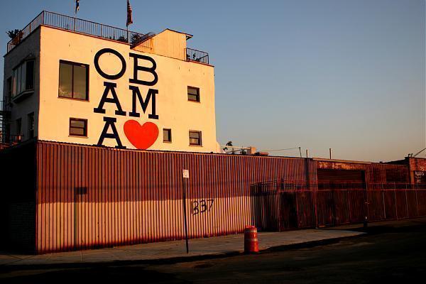
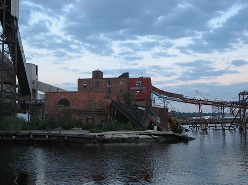
Red Hook was the setting for the H.P. Lovecraft story The Horror at Red Hook, and was also the setting for A View from the Bridge by Arthur Miller. Red Hook is planned to be the site of the world's largest IKEA, which is replacing a historic 19th century dry dock. Being off city streets and not a highway (as is typical for IKEAs), it is likely to bring heavy traffic nightmares and a sort of development focused on attracting outsiders. .Red Hook contains several parks including Red Hook Park. In the Spring of 2006, the new Carnival Cruise Lines Terminal opened in Red Hook. It brought additional tourists to Brooklyn.
Red Hook is the only part of New York City that, on land, has a full frontal view of the Statue of Liberty, which was oriented to face Prospect Park.
forgotten-ny.com/?s=%22red+hook%22
Red Hook is part of the area known as South Brooklyn. It is actually a peninsula formed by the Gowanus Canal at the southern edge of Downtown Brooklyn, and is north of the geographic center of the borough.
Red Hook is connected to Manhattan by the vehicles-only Brooklyn-Battery Tunnel, whose toll plaza and approaches separate it from Carroll Gardens to the north. Subway service in the area is sparse, with the F along Smith Street and curving east, and continuing along Ninth Street. The B61 bus runs from Red Hook through Downtown Brooklyn, Williamsburg, Brooklyn, Greenpoint, Brooklyn and ending at Long Island City, as a 24 hour service. The B77 connects to the F trains.
Red Hook was the setting for the H.P. Lovecraft story The Horror at Red Hook, and was also the setting for A View from the Bridge by Arthur Miller. Red Hook is planned to be the site of the world's largest IKEA, which is replacing a historic 19th century dry dock. Being off city streets and not a highway (as is typical for IKEAs), it is likely to bring heavy traffic nightmares and a sort of development focused on attracting outsiders. .Red Hook contains several parks including Red Hook Park. In the Spring of 2006, the new Carnival Cruise Lines Terminal opened in Red Hook. It brought additional tourists to Brooklyn.
Red Hook is the only part of New York City that, on land, has a full frontal view of the Statue of Liberty, which was oriented to face Prospect Park.
forgotten-ny.com/?s=%22red+hook%22
Categories: neighbourhood, residential neighbourhood
Wikipedia article: http://en.wikipedia.org/wiki/Red_Hook,_Brooklyn
Nearby cities:
Coordinates: 40°40'32"N 74°0'33"W
- Bensonhurst 4.5 km
- Stuyvesant Heights 5.9 km
- Williamsburg 6.7 km
- Bushwick 6.8 km
- Greenpoint 7.8 km
- Canarsie 7.8 km
- East New York 9 km
- Sunnyside 10 km
- Astoria 14 km
- Harlem (Manhattan, NY) 18 km
- Red Hook Container & Cruise Terminal 1 km
- Buttermilk Channel 1.2 km
- Gowanus Bay 1.2 km
- South Brooklyn Marine Terminal 1.8 km
- Green-Wood Cemetery 3 km
- Upper New York Bay 3.7 km
- Proposed Interboro Express Route 4.8 km
- Brooklyn 6.5 km
- Hudson County, New Jersey 8.3 km
- Staten Island 17 km