USA /
New York /
Inwood /
New York City, New York


West Farms (New York City, New York)
World / USA / New York / Inwood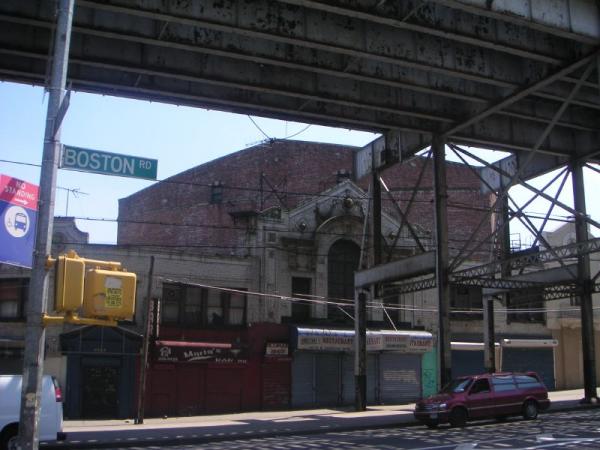
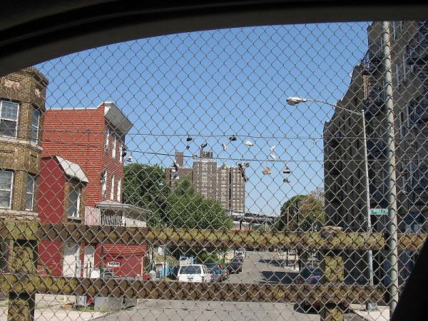
West Farms is a residential neighborhood in a west central part of The Bronx, New York City, also known as the northeast corner of the South Bronx. The neighborhood is part of Bronx Community Board 6. Its boundaries, starting from the north and moving clockwise are: East 183rd. street and the Bronx Park to the north, the Bronx River Parkway to the east, the Cross-Bronx Expressway to the south, and Crotona Avenue to the west. The area to the west of the neighborhood (west of Southern Boulevard) is often thought of as the sub-neighborhood of Bronx Park South.
East Tremont Avenue is the primary thoroughfare through West Farms. The local subway is the IRT White Plains Road Line (2 5) at West Farms Square–East Tremont Avenue (IRT White Plains Road Line), operating along Boston Road and E 180 St (IRT White Plains Road Line) on Morris Park Avenue. Zip codes include 10460. The area is patrolled by the 48th Precinct located at 450 Cross Bronx Expressway in East Tremont. NYCHA property in the area is patrolled by P.S.A. 8 at 2794 Randall Avenue in the Throggs Neck section of the Bronx.
East Tremont Avenue is the primary thoroughfare through West Farms. The local subway is the IRT White Plains Road Line (2 5) at West Farms Square–East Tremont Avenue (IRT White Plains Road Line), operating along Boston Road and E 180 St (IRT White Plains Road Line) on Morris Park Avenue. Zip codes include 10460. The area is patrolled by the 48th Precinct located at 450 Cross Bronx Expressway in East Tremont. NYCHA property in the area is patrolled by P.S.A. 8 at 2794 Randall Avenue in the Throggs Neck section of the Bronx.
neighbourhooddraw only border
Wikipedia article: http://en.wikipedia.org/wiki/West_Farms,_Bronx
Nearby cities:
Coordinates: 40°50'38"N 73°52'56"W
- Harlem (Manhattan, NY) 6.7 km
- Astoria 8.3 km
- Sunnyside 12 km
- Greenpoint 14 km
- Williamsburg 15 km
- Bushwick 16 km
- Stuyvesant Heights 17 km
- East New York 17 km
- Canarsie 21 km
- Bensonhurst 26 km
- The Bronx Zoo 0.7 km
- Crotona Park 1.2 km
- Tremont 1.4 km
- Bronx River 1.5 km
- Bronx Park 2.8 km
- Soundview Park 3.4 km
- The Bronx 3.5 km
- Manhattan 10 km
- The Palisades 15 km
- Long Island Sound 69 km