Iran /
Mazandaran /
Qaemshahr /


Mazandaran Province
World / Iran / Mazandaran / Qaemshahr , 67 km from center (قائم شهر) World / Iran / Mazandaran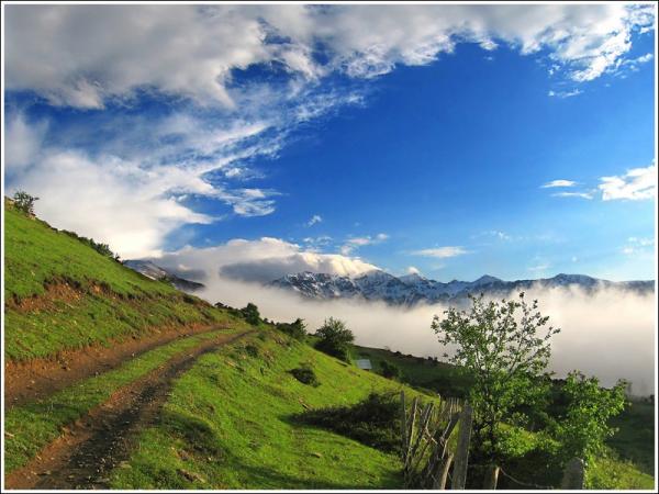
Mazandaran (Persian: مازندران) is one of the 30 provinces of Iran. Located on the Southern coast of the Caspian Sea, in the northern part of Iran, it is bordered clockwise by Golestan, Semnan and Tehran provinces (together forming Greater Mazandaran, separated from Mazandaran respectively in 1997, 1976 and 1960). It also borders Gilan and Qazvin provinces to the west.
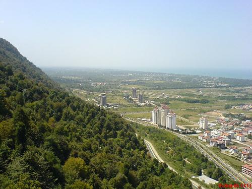
Mazandaran is one of the most densely populated provinces in Iran and wealthy regarding diverse natural resources also gross reservoir of Caspian oil & natural gas. The province's four largest counties are Sari, Babol, Amol, and Qaemshahr (All situated on the Mid-East).
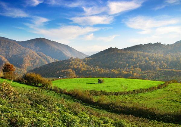
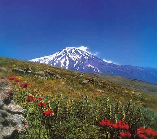
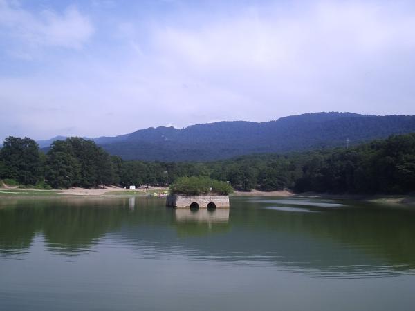
It has a diverse nature & climate including plains, prairies, forests and jungles ranges from the sandy beaches to the rugged and snowcapped Alborz sierra. Mount Damavand, the highest peak & volcano throughout Middle-East and Western Asia, is located in the southern part of this province.
A major producer of farm fish all around of Iran and the neighboring regions, Mazandaran is the leading economic base of agriculture & fish productions in Iran.
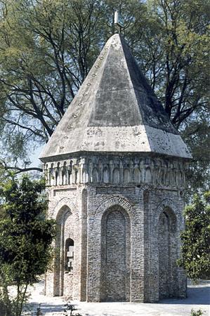
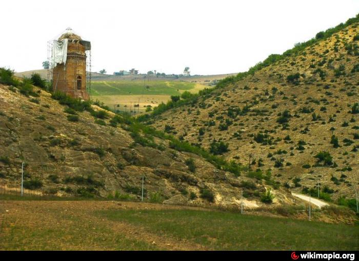
Mazandaran has a very rich history. It's human habitation of the area dates back to at least 75,000 years ago. It is one of the most important historical sites of Iran and has played an important role in cultural flourishing and urban development of the region. Mazandaran was part of the ancient Hyrcanian Kingdom and former Kingdom of Tapuria.
Mazandaran is one of the most densely populated provinces in Iran and wealthy regarding diverse natural resources also gross reservoir of Caspian oil & natural gas. The province's four largest counties are Sari, Babol, Amol, and Qaemshahr (All situated on the Mid-East).
It has a diverse nature & climate including plains, prairies, forests and jungles ranges from the sandy beaches to the rugged and snowcapped Alborz sierra. Mount Damavand, the highest peak & volcano throughout Middle-East and Western Asia, is located in the southern part of this province.
A major producer of farm fish all around of Iran and the neighboring regions, Mazandaran is the leading economic base of agriculture & fish productions in Iran.
Mazandaran has a very rich history. It's human habitation of the area dates back to at least 75,000 years ago. It is one of the most important historical sites of Iran and has played an important role in cultural flourishing and urban development of the region. Mazandaran was part of the ancient Hyrcanian Kingdom and former Kingdom of Tapuria.
Categories: region, province, first-level administrative division, draw only border
Wikipedia article: http://en.wikipedia.org/wiki/Mazandaran_Province
Nearby cities:
Coordinates: 36°22'7"N 52°16'15"E
- Kerman Province 519 km
- Balochistan Province 923 km
- Northern Borders Region 1405 km
- Riyadh Province 1413 km
- Punjab Province 1575 km
- Mahajanga Province 5660 km
- Toliara Province 6147 km
- East Kalimantan 7189 km
- Saskatchewan 9187 km
- Papua 9437 km
- Espened 5 km
- Abshar Kataleh Gardan 5 km
- خوش امدید 5.9 km
- Gela Dairy Co. 6 km
- شرکت دیزل سنگین ایران 6.5 km
- مجموعه ورزشی شمال مرعش 7.6 km
- Shomal University 7.6 km
- Afradeh village 8.6 km
- Kalleh Dairy Company 10 km
- غاز و گندم 12 km
Comments