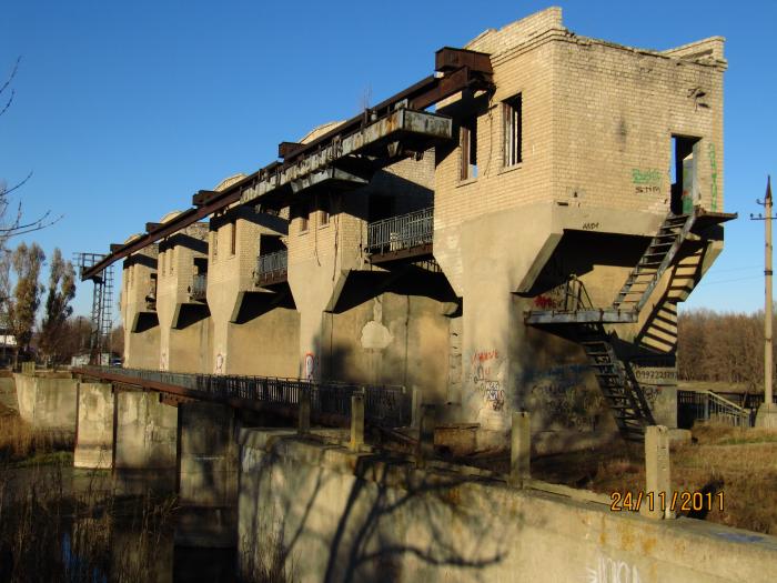
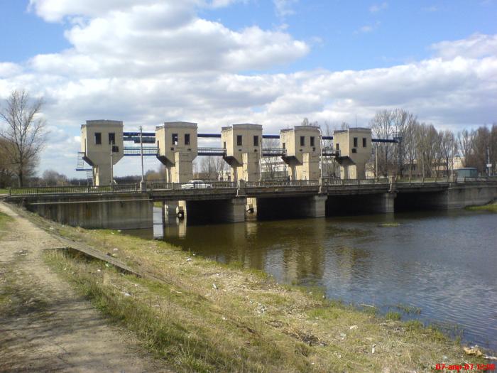
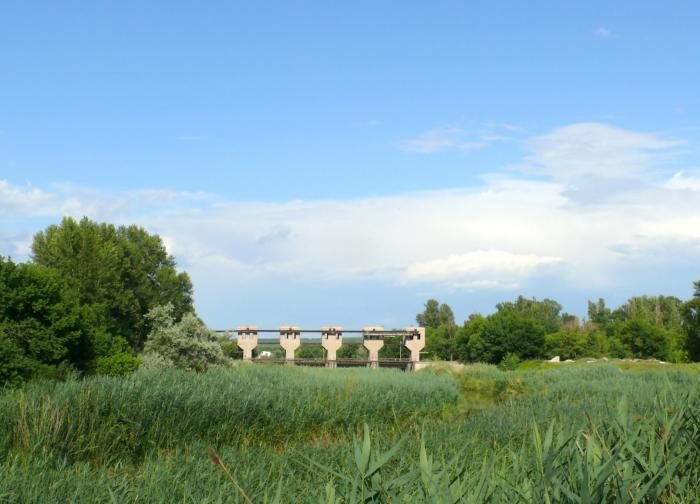
Flood-gate (Luhansk)
Ukraine /
Luhanska /
Luhansk
World
/ Ukraine
/ Luhanska
/ Luhansk
, 5 km from center (Луганськ)
World / Ukraine / Luhans'k
abandoned / shut down, barrage, spillway

Nearby cities:
Coordinates: 48°35'25"N 39°22'36"E
- Gundoronsky Small Aviation Airfield out of service 57 km
- Abandoned Kamensk Woodworking Plant 69 km
- Kamensk-Shakhtinsky Meat Processing Plant 70 km
- Ruins of the facilities for mechanical wastewater treatment, Kamenskvolokno JSC 70 km
- Abandoned Pogorelovo airport 71 km
- Territory of former Kamensky Flour-Milling Plant 74 km
- Pravoberezhnaya ('Right Bank') junction 75 km
- Abandoned dachas 85 km
- Vostok ('East') Children's Health Camp out of service 91 km
- Abandoned sand pits 106 km
- Mala Verhunka 0.4 km
- kvartal 50-richia Zhovtnia 2.2 km
- Velyka Verhunka 2.3 km
- Skhid/Vostok/East (or Kvartala) 2.4 km
- Babyn Yar arroyo 3 km
- Zhovtnevyi District 3 km
- Skhidne-1 settlement 3.2 km
- Eastern industrial area 3.3 km
- Sukha Balka arroyo 6.8 km
- Leninskyi District 7.2 km