Zayeltsovskaya Metro Station (Novosibirsk)
Russia /
Novosibirsk /
Novosibirsk
World
/ Russia
/ Novosibirsk
/ Novosibirsk
, 2 km from center (Новосибирск)
World / Russia / Novosibirsk
invisible, draw only border, metro station, public transport terminus, 1992_construction


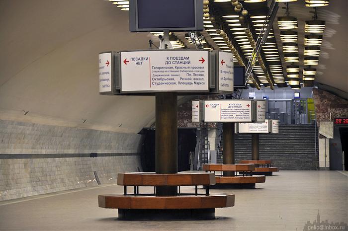
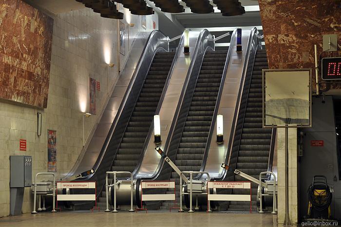
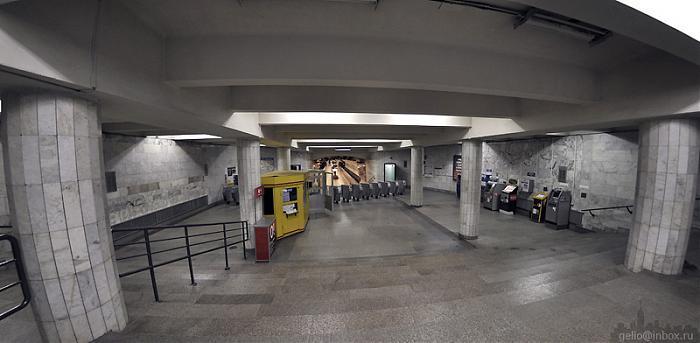


Underground metro system, accessed by points at each road around the square.
Accessing the metro there is a number of mini-shops that you pass-by.
Accessing the metro there is a number of mini-shops that you pass-by.
Wikipedia article: http://en.wikipedia.org/wiki/Zayeltsovskaya_(Novosibirsk_Metro)
Nearby cities:
Coordinates: 55°3'33"N 82°54'45"E
- Ploshchad Garina-Mikhaylovskogo Metro Station 2.7 km
- Beryozovaya Roshcha Metro Station 3 km
- Zolotaya Niva Metro Station 4.6 km
- Studencheskaya Metro Station 7.7 km
- Ploshchad Marksa Metro Station 8.5 km
- Botanicheskaya Metro Station 1397 km
- Metro Oybek/Ming Orik 1829 km
- ''Olmazor'' (former: S.Rahimov) metro station entrance 1836 km
- Severny vokzal metro station 2116 km
- Rossiyskaya Metro Station 2127 km
- Kalinin Square
- Kindergarten No. 12 0.3 km
- Dachnaya Street, 36 0.4 km
- Dachnaya Street, 34 0.4 km
- First Panel Building 0.6 km
- "Chinese Wall" 0.7 km
- Municipa school 13 0.8 km
- Tsentralny ('Central') City District 3.3 km
- Zayeltsovsky City District 4.1 km
- Kalininsky City District 8.1 km