Strait of Tartary
| water, strait / channel / passage / narrows
Russia /
Habarovsk /
Lazarev /
World
/ Russia
/ Habarovsk
/ Lazarev
, 47 km from center (Лазарев)
World / Russia / Sakhalin
water, strait / channel / passage / narrows, invisible
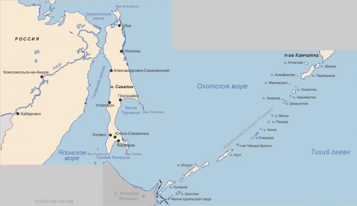
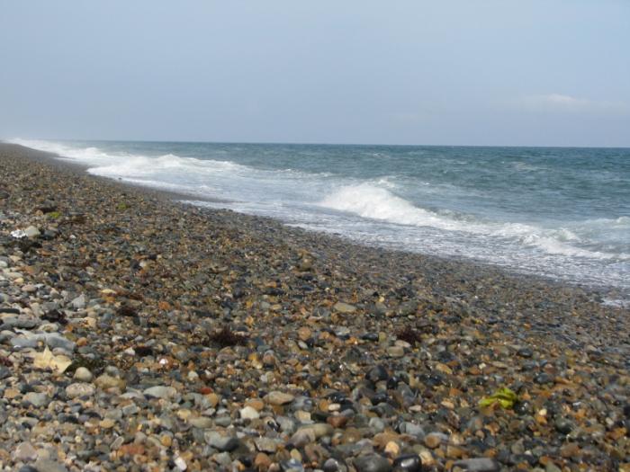
Strait of Tartary (Gulf of Tartary, Gulf of Tatary, Tatar Strait, Tartar Strait, Strait of Tartar, also Russian: Татарский пролив, Chinese: 韃靼海峽; pinyin: Dádá hǎixiá, and Mamiya Strait (Japanese: 間宮海峡 Hepburn: Mamiya kaikyō)) is a strait in the Pacific Ocean dividing the Russian island of Sakhalin from mainland Asia (South-East Russia), connecting the Sea of Okhotsk on the north with the Sea of Japan on the south. It is 900 kilometres long, 4–20 m deep, and 7.3 kilometres wide at the narrowest point.
Wikipedia article: http://en.wikipedia.org/wiki/Strait_of_Tartary
Nearby cities:
Coordinates: 51°43'59"N 141°20'8"E
- Bussol Strait 876 km
- South Kuril Strait 901 km
- Fourth Kuril Strait 962 km
- Tsugaru Strait 1107 km
- Luzon Strait 3836 km
- Qiongzhou Strait 4422 km
- Mindoro Strait 4714 km
- Cebu Strait 4902 km
- Palawan Passage 5091 km
- Ten Degree Channel 6353 km
- Bay Tyk 28 km