Tanna Island
Vanuatu /
Tafea /
Isangel /
World
/ Vanuatu
/ Tafea
/ Isangel
World
island
Add category
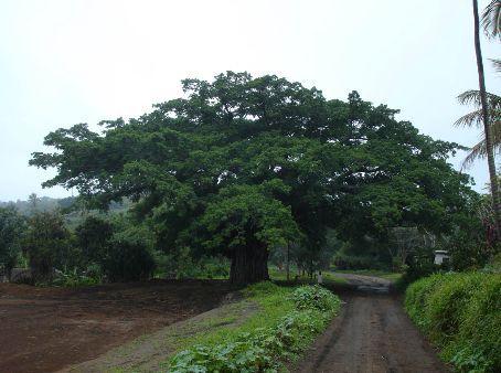
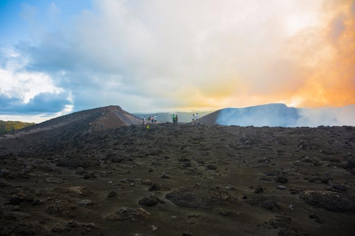
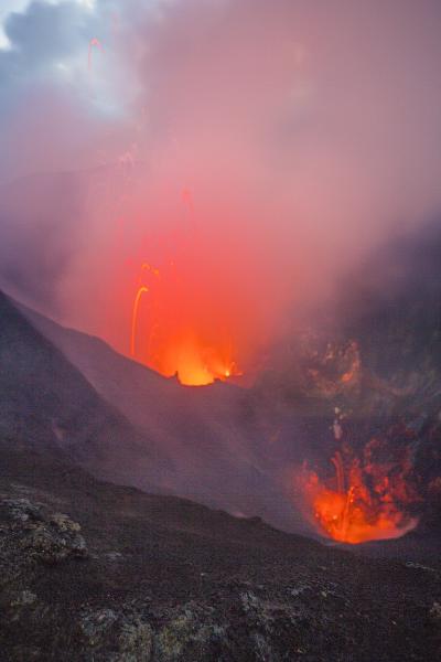
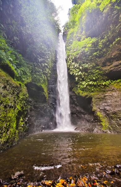
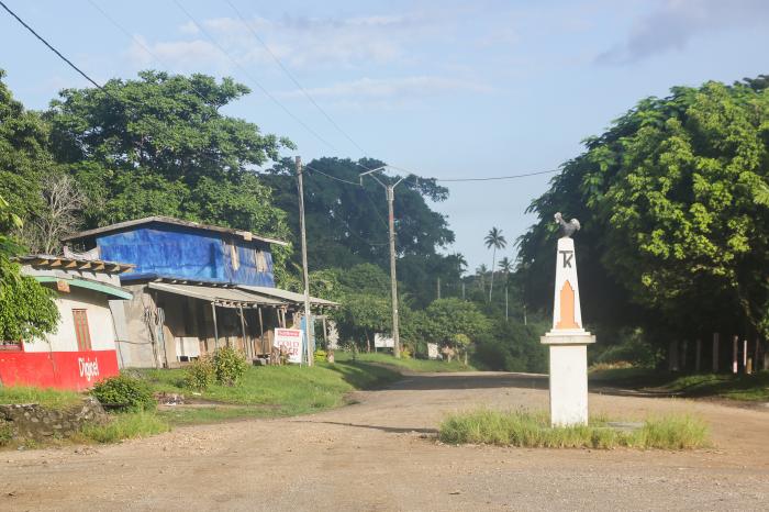
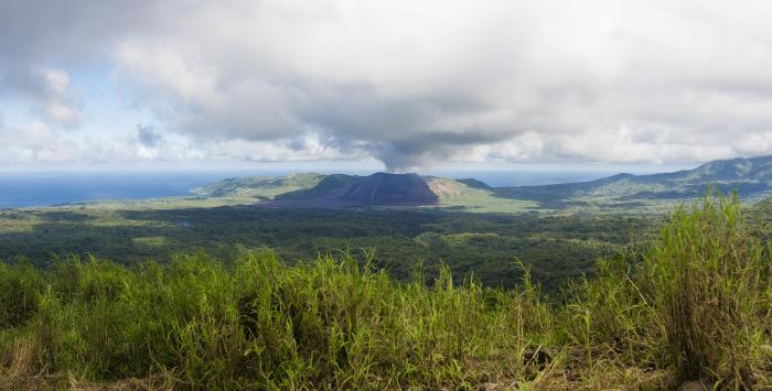
Tanna (sometimes spelled Tana) is an island of Vanuatu. It is 40 km (25 mi) long and 19 km (12 mi) wide, with a total area of 550 km² (212 sq mi). Its highest point is the 1,084 m (3,556 ft) summit of Mount Tukosmera. It is the most populated island in Tafea province, with a population of about 20,000, and one of the more populous islands in the country. Isangel, the provincial administrative capital, is on the west coast near the island's largest town of Lénakel. Mount Yasur is the most accessible active volcano in the world, located on the southeast coast.
(Excerpt from Wikipedia)
(Excerpt from Wikipedia)
Wikipedia article: http://en.wikipedia.org/wiki/Tanna_(island)
Nearby cities:
Coordinates: 19°29'7"S 169°21'58"E
- Anatom 82 km
- Erromango 104 km
- Viti Levu 866 km
- Kadavu 903 km
- Kadavu Group 905 km
- Yasawa 909 km
- Ovalau 1010 km
- Vanua Levu 1034 km
- Gau 1055 km
- Koro Island 1083 km
- Yasur Volcano 10 km
- Mt. Tukuwasmera 10 km
- Mt. Mareun 14 km
- Cook's Bay 76 km
- Mt. Melkum 78 km
- Mt. Wahous 82 km
- Dillon's Bay 85 km
- Inrerow Atamwan Volcano 88 km
- Mt. Santop 91 km
- Nanawarez Volcano 94 km
Comments