New Caledonia /
Sud /
Vao /

Ile des Pins
World / New Caledonia / Sud / Vao World / New Caledonia / Sud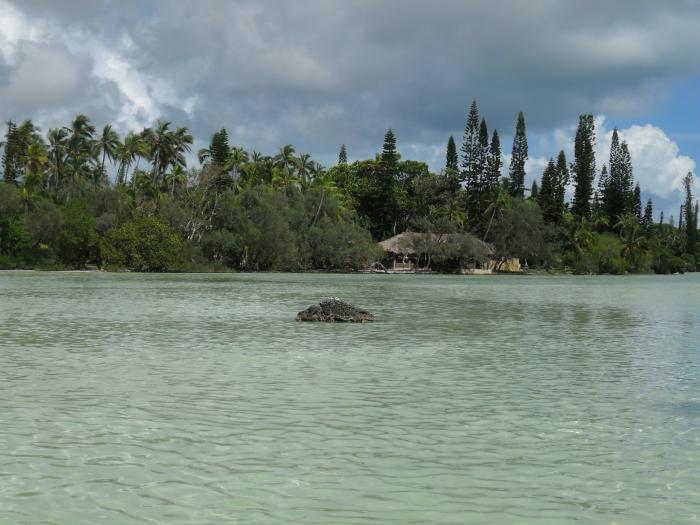
The island is located around [show location on an interactive map] 22°37′5.16″S, 167°28′40.51″E and measures 15 km (9 miles) by 13 km (8 miles). It lies southeast of Grande Terre, New Caledonia's main island and is approximately 100 kilometres south-east of the capital Noumea. There is one airport (code ILP) with a 1,097-meter (3,600 ft) runway. The Isle of Pines is surrounded by the New Caledonia Barrier Reef.
island
Add category
Wikipedia article: http://en.wikipedia.org/wiki/Isle_of_Pines,_New_Caledonia
Nearby cities:
Coordinates: 22°36'20"S 167°29'10"E
- Koutoumo 4.6 km
- Ouen 77 km
- Hugon 163 km
- Île Parseval 163 km
- Île Ducos 166 km
- Île Léprédour 172 km
- Puen 174 km
- Norfolk Island 713 km
- Phillip Island 726 km
- Lord Howe Island 1297 km
- Runway 10/28 3.7 km
- Île des Pins Airport 3.8 km
- Terminal Airport 4.1 km
- Sea water swimming pool of Oro 5 km
- Kunie Scuba Center 6.5 km
- Kuto 7 km
- Kuto Bay 7.5 km
- Kanumera Bay 7.9 km
- Nokanhui 15 km