USA /
Minnesota /
Warroad /


Videophone border crossing at Jims corner
World / USA / Minnesota / Warroad World / United States / Minnesota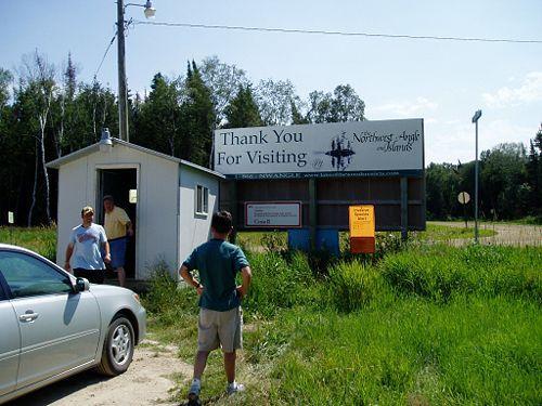
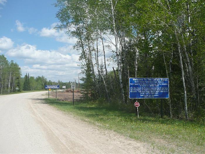
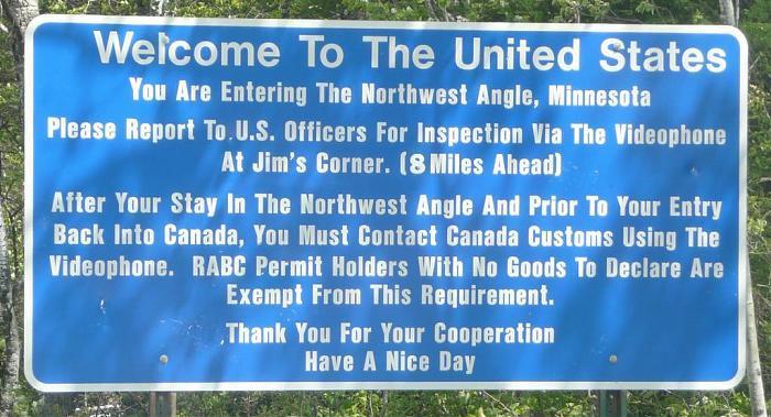
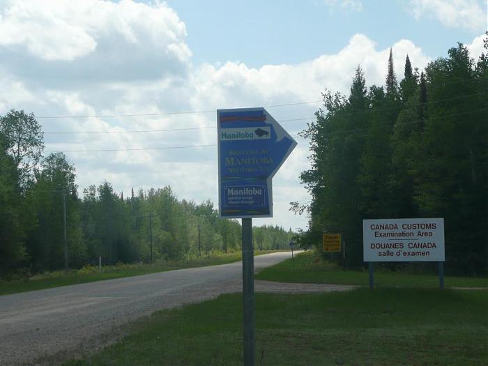
This is the Canada-United States border but there is nothing here except a border monument and a few signs. The Official border checkpoint (an unmanned videophone shack) is 7.8 mi (12.5 km) northeast at Jim's Corner.
www.stripersonline.com/surftalk/showthread.php?t=487975
transcripts.cnn.com/TRANSCRIPTS/0706/22/acd.01.html
(Scroll to end of transcript or search for "official U.S. border checkpoint.")
www.stripersonline.com/surftalk/showthread.php?t=487975
transcripts.cnn.com/TRANSCRIPTS/0706/22/acd.01.html
(Scroll to end of transcript or search for "official U.S. border checkpoint.")
interesting place
Add category
Wikipedia article: http://en.wikipedia.org/wiki/Northwest_Angle
Nearby cities:
Coordinates: 49°17'17"N 95°9'12"W
- Northwest Angle 11 km
- Polar Bay 63 km
- River crossing the US-Canada border 3 times in 1/3 mile 104 km
- Mennonite Heritage Village 115 km
- Club Regent Casino and Canad Inns Club Regent 153 km
- Marymound School 159 km
- Fort Whyte Centre 162 km
- Lark Family Farm 165 km
- Willow Point 196 km
- Pembina Valley Bible Camp 230 km
- Angle Township, Minnesota 8.7 km
- Buffalo Point 31 km
- Lake of the Woods 33 km
- Shoal Lake No. 40 36 km
- Whitemouth Lake 39 km
- Shoal Lake Indian Reserve No. 39A 40 km
- Lake of the Woods Provincial Park (Canada) 48 km
- West Hawk Lake 54 km
- Longbow Lake 77 km
- Township of Morley, Ontario 88 km
Comments