Znesinnia Regional Landscape Park (Lviv)
Ukraine /
Lvivska /
Vynnyky /
Lviv
World
/ Ukraine
/ Lvivska
/ Vynnyky
, 5 km from center (Винники)
World / Ukraine / L'viv
park, invisible, draw only border
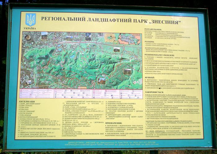
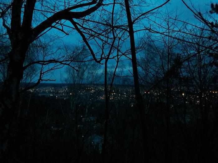
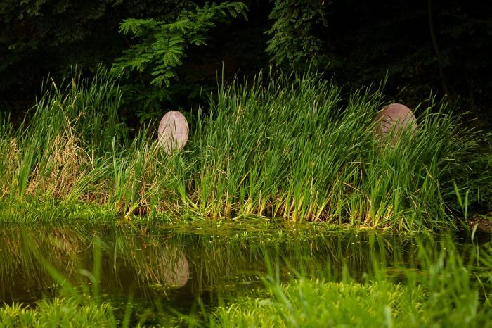
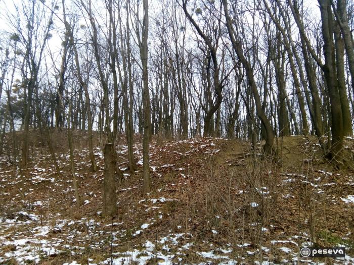
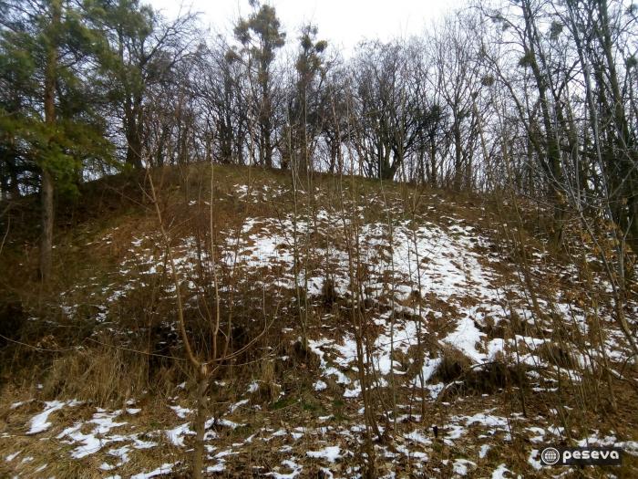
The largest park in Lviv, Ukraine. It is located in the north-east part of the city and reachable within a 20min walk from the Ratusha (City Hall) and the Rynok Square (Market Square). Together with the Vysokyi Zamok (High Castle) the hills of Park Znesinnya form Lviv's distinctive city skyline, known from drawings going back to the 16th century.
The park is located on green hilly parts of the historical village Znesinnya which was named after the Christian holiday of Ascension. Therefore, it is one of the first areas settled by men inside the present boundaries of Lviv. Being commenced due to a public initiative in 1993, Park Znesinnya is one of the first Regional Landscape Parks in Ukraine founded within the territory of a large city. The NGO "Regional Foundation Znesinnya" started to claim for the protection of the area informally in 1990, getting registered in 1991 as a non-governmental, non-profit organization. The park is managed by the park administration as a subunit of the city department of urban development and supported by „Regional Foundation Znesinnya
www.youtube.com/watch?v=YQ203pFi7FM
Wikipedia article: http://en.wikipedia.org/wiki/Znesinnia_Regional_Landscape_Park
Nearby cities:
Coordinates: 49°50'48"N 24°3'45"E
- Forest 3.9 km
- Collective gardens 6.5 km
- Bilogorskiy forest 9 km
- Military 10 km
- Peatbog 11 km
- Vyhoda grove 13 km
- Nature conservation park 15 km
- Forest 17 km
- Forest 18 km
- Harai Mountain 25 km
- Manor (early 20th century) from the Verbivtsya village 0.2 km
- Farmstead of the early 20th century from Berezhonka village 0.2 km
- Kavalier beach club 0.5 km
- Stare Znesinnia 0.5 km
- Kaiserwald 0.5 km
- Saints Vladimir and Olga church from Kotan' village 0.6 km
- Mountain 0.6 km
- Grove 0.7 km
- Industrial area 1.9 km
- Former Pustomyty Raion 12 km