AT&T Roaring Creek - Long Lines Satellite Terminal
USA /
Pennsylvania /
Numidia /
World
/ USA
/ Pennsylvania
/ Numidia
World / United States / Pennsylvania
government, Cold War 1947-1991, satellite/space tracking station
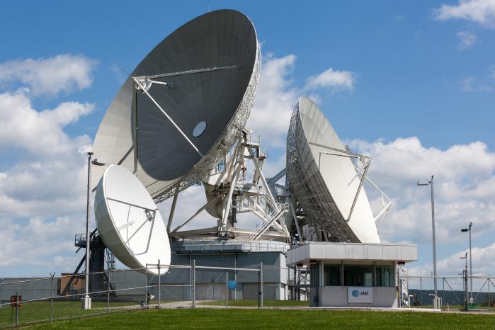
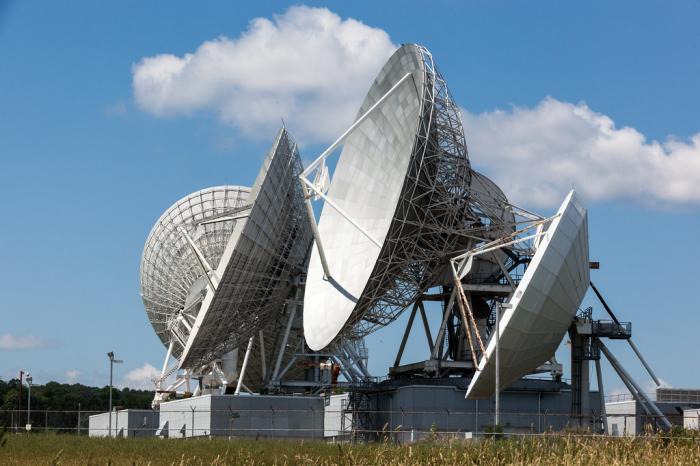
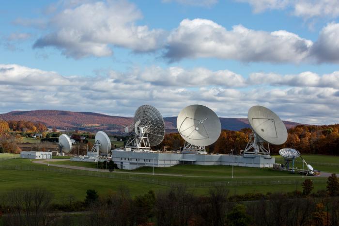
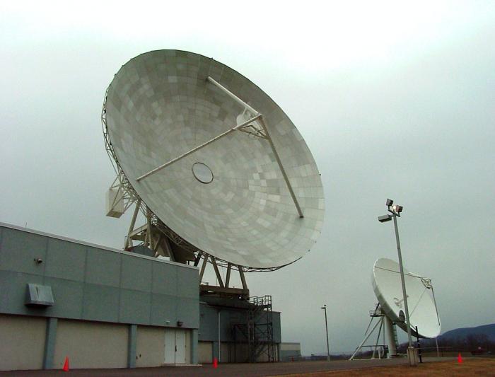
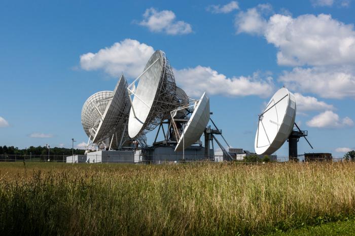
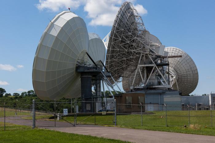
Initially an AUTOVON Wideband Down Link Site. Significant Hardened Bunker Near Here. Now used by the NSA
Wikipedia article: https://en.wikipedia.org/wiki/Roaring_Creek_Station
Nearby cities:
Coordinates: 40°53'36"N 76°26'22"W
- NRO "Area 58" Aerospace Data Facility" 247 km
- Navy Information Operations Command Sugar Grove 359 km
- EROS Data Center 1688 km
- Goldstone Deep Space Communications Tracking Station 3563 km
- Raytheon Intelligence & Space (RIS) 3753 km
- Fairbanks Command & Data Acquisition Station (FCDAS) 5101 km
- Goonhilly Satellite Earth Station 5439 km
- Madley Earth Station 5527 km
- Madrid Deep Space Communications Complex (MDSCC) - Robledo de Chavela, Spain 5909 km
- Kaena Point Satellite Tracking Station 7802 km
- State Game Lands Number 58 11 km
- Butler Township 16 km
- Columbia County, Pennsylvania 17 km
- Union Township 18 km
- Northumberland County, Pennsylvania 19 km
- Barry Township 20 km
- Valley Township 20 km
- Eldred Township 21 km
- Montour County, Pennsylvania 23 km
- Schuylkill County, Pennsylvania 26 km
Comments