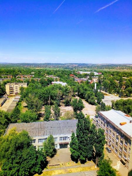
Terrritory of Kamensk Chemical and Mechanical Engineering College (Kamensk-Shakhtinsky)
Russia /
Rostov /
Kamensk-Shakhtinskiy /
Kamensk-Shakhtinsky
World
/ Russia
/ Rostov
/ Kamensk-Shakhtinskiy
, 1 km from center (Каменск-Шахтинский)
do not draw title, fenced area

Nearby cities:
Coordinates: 48°19'23"N 40°16'0"E
- Kamensk-Shakhtinsky Central Municipal Hospital 1.4 km
- Construction depot 1.6 km
- Joint territory of Kamensk Vocational School and Kamensk College of Construction and Car Service 1.7 km
- Military Unit No. 2385 – Kamensk-Shakhtinsky Board Guard Detachment of the Border Guard Service of Russia 2.8 km
- Territory of Starostanichnaya secondary school 4.2 km
- Warehouses 6.6 km
- Territory of former Kamenskdorstroy JSC 13 km
- Glubokonsky Seversky Donets bakery production plant 21 km
- Mine nr. 35 29 km
- Peremoga 500 kV-Substation 50 km
- Kamensk Chemical and Mechanical Engineering College
- Territory of the Department of Internal Affairs of the Main Directorate for Road Traffic Safety for Kamensk-Shakhtinsky 0.1 km
- Parkway 0.2 km
- Joint territory of Kamensk Museum of Decorative and Applied Art and Craft and Museum of Local Lore, History and Economy 0.2 km
- Flea Market (fair) 0.2 km
- Ploshchad Truda ('Labor Square') 0.2 km
- Ploshchad Truda green area (lawns & flower beds) 0.2 km
- VIP shopping mall 0.3 km
- Gagarin Park 0.4 km
- Sotsgorod historical residential area 0.8 km
Kamensk Chemical and Mechanical Engineering College
Territory of the Department of Internal Affairs of the Main Directorate for Road Traffic Safety for Kamensk-Shakhtinsky
Parkway
Joint territory of Kamensk Museum of Decorative and Applied Art and Craft and Museum of Local Lore, History and Economy
Flea Market (fair)
Ploshchad Truda ('Labor Square')
Ploshchad Truda green area (lawns & flower beds)
VIP shopping mall
Gagarin Park
Sotsgorod historical residential area