Ganghwado
Korea (South) /
Inchon /
Kanghwa /
World
/ Korea (South)
/ Inchon
/ Kanghwa
World / South Korea / Gyeonggi-do
island
Add category
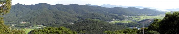
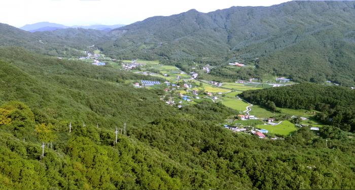
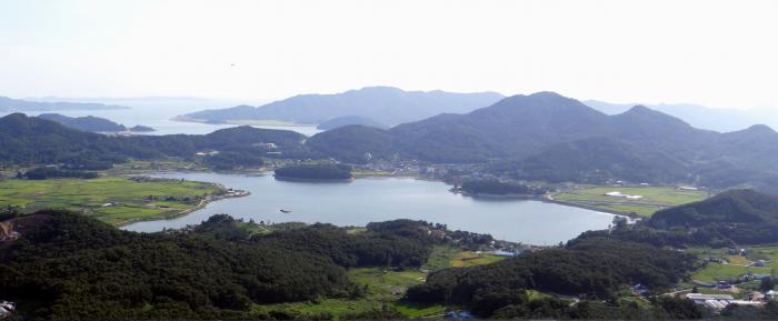
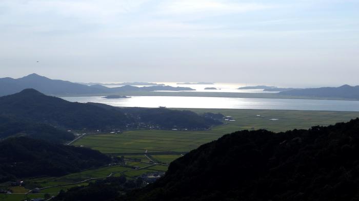
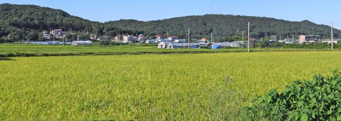
Ganghwa Island is an island in the estuary of the Han River, on the west coast of South Korea. About 65,500 people live on the island. With an area of 302.4 km², it constitutes most of Ganghwa-gun, a division of Incheon Municipality. About half of the island's population reside in Ganghwa-eup, or Ganghwa Town, in the northeastern part of the island. The island's highest point is Mani-san, 469 meters above sea level. It is the 5th largest island in South Korea.
Wikipedia article: http://en.wikipedia.org/wiki/Ganghwa_Island
Nearby cities:
Coordinates: 37°42'38"N 126°26'36"E
- Seokmo-do 16 km
- Yeongjongdo 20 km
- Gyodongdo 24 km
- Yeongheungdo 47 km
- Deokjeokdo 58 km
- Sunwi-do 109 km
- Changrin-do 116 km
- Daecheong Island 157 km
- Baengnyeongdo 164 km
- Cho-do Naval Base 175 km
- Toesan 1.6 km
- Deokjeongsan 3.2 km
- Naega Reservoir 4.1 km
- Buleun-myeon 4.5 km
- Jingangsan 4.7 km
- Guksusan 6.3 km
- Jeongjoksan 9 km
- Manisan 11 km
- Gilsangsan 12 km
- Korean Demilitarized Zone (DMZ) 85 km
Comments