Charfasson Upazila HQ
Bangladesh /
Bhola /
Char Fasson /
World
/ Bangladesh
/ Bhola
/ Char Fasson
township, subdistrict, fourth-level administrative division, local government


Charfasson Upazila (Bhola district) with an area of 1106.3 sq km, is bounded by Lalmohan upazila on the north, Manpura upazila, Lower meghna river and Shahbazpur channel on the east, Bay of bengal on the south Dashmina and Galachipa upazilas on the west. It is the biggest upazila of Bhola district. There are more than 100 chars in the upazila, most noted of which are Char Kukri Mukri, Dhalchar, Char Manika, Char Aicha, Char Nizam, Char Newton.
The location of the Charfasson is 22.1905198N 90.7594863E. Charfasson (Town) consists of 9 wards and 9 mahallas with an area of 29.26 sq km. The town has a population of 17108; male 53.01%, female 46.99%. Literacy rate among the town people is 39.43%. The town has two dakbungalows.Charfasson (Town) consists of 9 wards and 9 mahallas with an area of 29.26 sq km. The town has a population of 17108; male 53.01%, female 46.99%. Literacy rate among the town people is 39.43%. The town has two dakbungalows.
Charfasson thana was established in 1970 and was turned into an upazila in 1982. The upazila consists of 12 union parishads, one municipality, 68 mouzas and 75 villages.
Historical events: Charfassor was named after J H Fashion, District Magistrate of Bakerganj during 1885 to 1887. He established settlement here.
As of the 1991 Bangladesh census: Population 342038; male 51.49%, female 48.51%; Muslim 95.73%, Hindu 4.25%, Others 0.02%.
Religious institutions Mosque 601, temple 5.
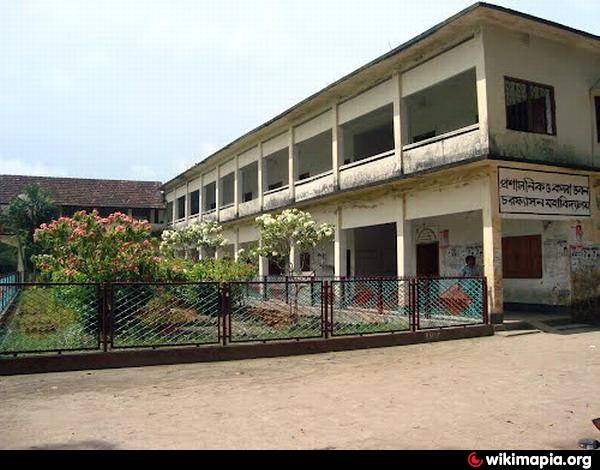
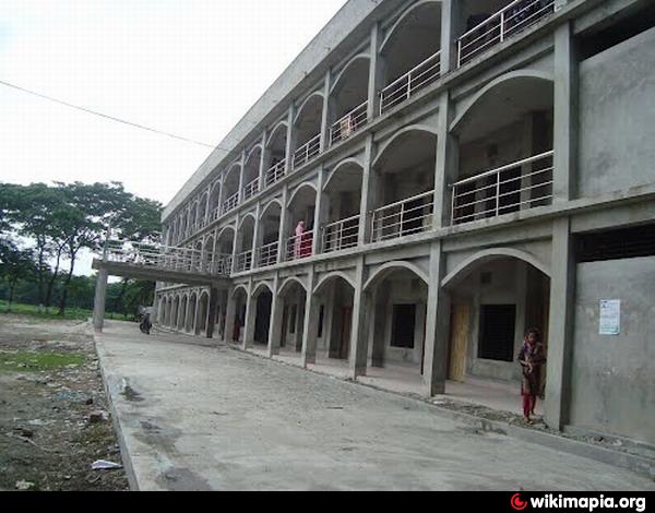
Literacy and educational institutions: Average literacy 25.4%; male 30%, female 20.8%. Educational institutions: college 5, secondary school 26, junior high school 22, madrasa 70, government primary school 71, registered non-government primary school 104.
Cultural organisations: Public library 1, rural club 15, cinema hall 6, theatre group 4.
Main occupations: Agriculture 41.51%, fishing 5.28%, agricultural labourer 25.85%, wage labourer 5.1%, commerce 7.12%, service 3.11%, others 12.03%.
Land use: Total land 56997.16 hectares, cultivable land 47221.77 hectares, fallow land 9775.39 hectares; single crop 27%, double crop 57%, treble crop 16%,
Land control: Among the peasants 21.46% are landless, 49.09% marginal, 23.30% intermediate and 6.15% rich.
Fisheries, dairies, poultrys Fishery 2, shrimp project 1, hatchery 1, poultry 4, dairy 2 .
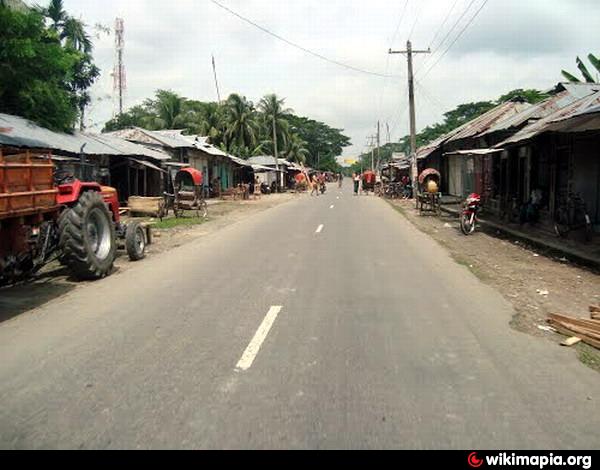
Communication facility- Roads: pucca 50 km, mud road 546 km.
Cottage industries: Weaving, mat work, tailoring, goldsmith, blacksmith, welding, wood work.
NGO activities: Operationally important NGO are Coast, Paoush, Rido, Nari (local) and brac, asa, Action Aid, Human Rights Organisations, NIGSES.
Health centres: Upazila Health Complex 1, Family Welfare Centre 1, Rural Health Centre 10.
The location of the Charfasson is 22.1905198N 90.7594863E. Charfasson (Town) consists of 9 wards and 9 mahallas with an area of 29.26 sq km. The town has a population of 17108; male 53.01%, female 46.99%. Literacy rate among the town people is 39.43%. The town has two dakbungalows.Charfasson (Town) consists of 9 wards and 9 mahallas with an area of 29.26 sq km. The town has a population of 17108; male 53.01%, female 46.99%. Literacy rate among the town people is 39.43%. The town has two dakbungalows.
Charfasson thana was established in 1970 and was turned into an upazila in 1982. The upazila consists of 12 union parishads, one municipality, 68 mouzas and 75 villages.
Historical events: Charfassor was named after J H Fashion, District Magistrate of Bakerganj during 1885 to 1887. He established settlement here.
As of the 1991 Bangladesh census: Population 342038; male 51.49%, female 48.51%; Muslim 95.73%, Hindu 4.25%, Others 0.02%.
Religious institutions Mosque 601, temple 5.
Literacy and educational institutions: Average literacy 25.4%; male 30%, female 20.8%. Educational institutions: college 5, secondary school 26, junior high school 22, madrasa 70, government primary school 71, registered non-government primary school 104.
Cultural organisations: Public library 1, rural club 15, cinema hall 6, theatre group 4.
Main occupations: Agriculture 41.51%, fishing 5.28%, agricultural labourer 25.85%, wage labourer 5.1%, commerce 7.12%, service 3.11%, others 12.03%.
Land use: Total land 56997.16 hectares, cultivable land 47221.77 hectares, fallow land 9775.39 hectares; single crop 27%, double crop 57%, treble crop 16%,
Land control: Among the peasants 21.46% are landless, 49.09% marginal, 23.30% intermediate and 6.15% rich.
Fisheries, dairies, poultrys Fishery 2, shrimp project 1, hatchery 1, poultry 4, dairy 2 .
Communication facility- Roads: pucca 50 km, mud road 546 km.
Cottage industries: Weaving, mat work, tailoring, goldsmith, blacksmith, welding, wood work.
NGO activities: Operationally important NGO are Coast, Paoush, Rido, Nari (local) and brac, asa, Action Aid, Human Rights Organisations, NIGSES.
Health centres: Upazila Health Complex 1, Family Welfare Centre 1, Rural Health Centre 10.
Nearby cities:
Coordinates: 22°10'47"N 90°45'22"E
- Patiya Upazila (পটিয়া) 109 km
- Banshkhali Upazila (বাঁশখালী উপজেলা) 112 km
- Chandanaish Upazila 123 km
- Matlab Upazila (North) Area 149 km
- Lohajang Upazila 161 km
- Keraniganj Upazila 183 km
- Rupganj Upazila 199 km
- Kapashia Upazila 234 km
- Gafargaon Upazila 265 km
- Dhobaura Upazila 338 km
- Shore protection 18 km
- Bhola District 22 km
- Nijhum Dwip (Nijhum Island) 30 km
- island - mud flat - sand bar 36 km
- Hatiya, Noakhali 37 km
- Lower Meghna River 45 km
- Barishal Division 51 km
- Proposed Special Economic Zone 53 km
- Noakhali District 56 km
- Thengar Char 69 km