Bridge Avenue Historic District (Davenport, Iowa)
USA /
Iowa /
Davenport /
Davenport, Iowa
World
/ USA
/ Iowa
/ Davenport
World / United States / Iowa
draw only border, historic district
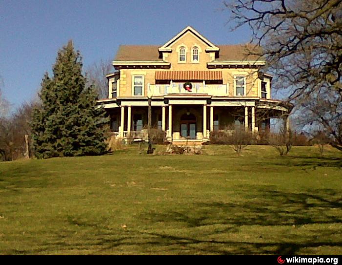
Fourteen houses along Bridge Avenue between River drive and East Ninth Street. Listed on the National Register of Historic Places.
Wikipedia article: http://en.wikipedia.org/wiki/Bridge_Avenue_Historic_District
Nearby cities:
Coordinates: 41°31'40"N 90°33'28"W
- Lock and Dam No. 12 83 km
- Former Geographic Township of Ranger 1092 km
- Former Geographic Township of Balmer 1094 km
- Former Geographic Township of Shaver 1101 km
- Former Geographic Township of Bateman 1103 km
- Former Geographic Township of McDonough 1106 km
- Former Township of Golden 1106 km
- Pickle Crow, Ontario 1111 km
- Germantown 1468 km
- Chief Son-I-Hat's Whale House and Totems 3390 km
- Arsenal Island 1.8 km
- Downtown Davenport 1.8 km
- Oakdale Cemetery 2.2 km
- Eastern Avenue Park Disc Golf Course 2.6 km
- Duck Park & Creek Golf Course 3.1 km
- Duck Creek Golf Course 3.1 km
- Davenport Memorial Park 4 km
- Calvary Cemetery 4 km
- NorthPark Mall 4.2 km
- Mississippi Valley Fairgrounds 5.1 km