simpang pelor (Meulaboh)
Indonesia /
Aceh /
Meulaboh
World
/ Indonesia
/ Aceh
/ Meulaboh
World / Indonesia / Aceh
road junction
Add category


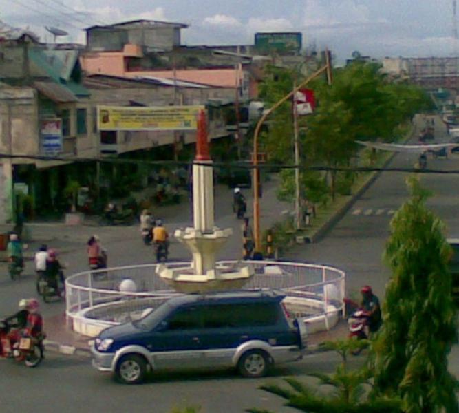
simpang pelor is a road junction located in Meulaboh. simpang pelor - Meulaboh on the map.
Nearby cities:
Coordinates: 4°8'37"N 96°7'38"E
- Strait of Malacca 317 km
- Penang Island 473 km
- Selama,Perak 518 km
- Mukim Teloi 533 km
- Mukim Sik 542 km
- Ipoh 546 km
- Mukim Sok 563 km
- Khao Sok National Park 622 km
- Lang Suan 724 km
- The Andaman and Nicobar Islands Territory (India) 1157 km
- Teuku Umar University 8.1 km
- Nagan Raya Steampowered 8.9 km
- Kecamatan Meureubo 9 km
- PERANCANGAN pltu naganraya 3,4 9 km
- Lho Bubon 11 km
- Kecamatan Samatiga 15 km
- Kecamatan Kaway XVI 17 km
- Cut Nyak Dien Airport 18 km
- desa cotmee 29 km
- gempa, 9 Mei 2010, 12.59 WIB 68 km