UN WFP (Kabul)
Afghanistan /
Kabul /
Kabul
World
/ Afghanistan
/ Kabul
/ Kabul
, 2 km from center (كابل)
World / Afghanistan / Kabul
historical layer / disappeared object
Add category
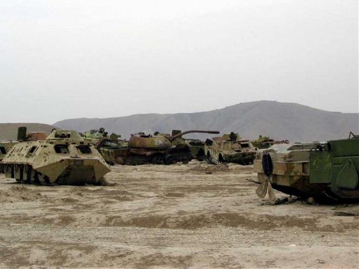
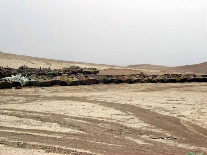
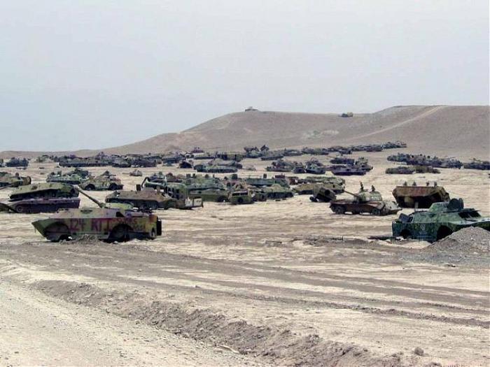
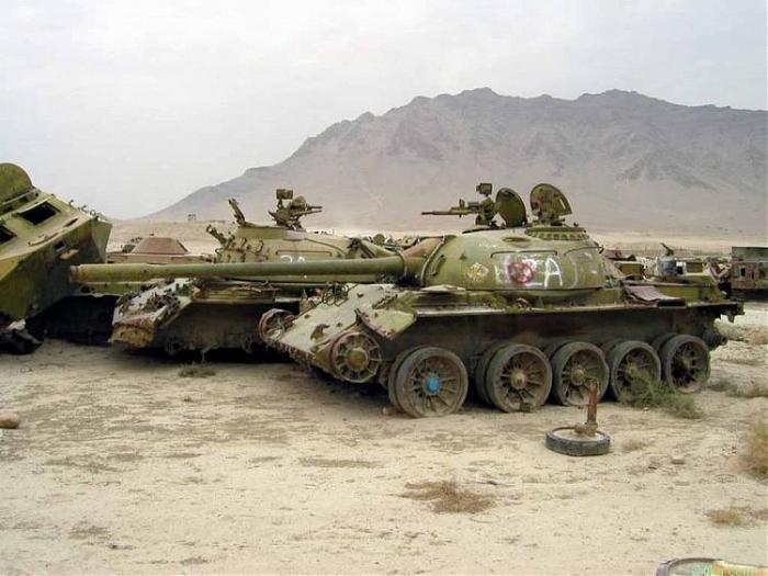
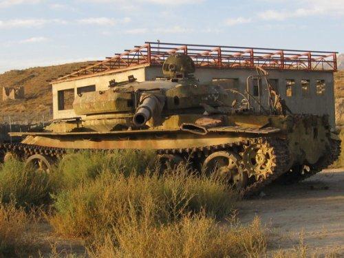
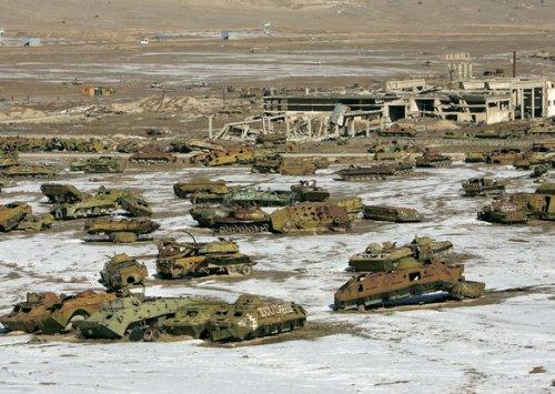
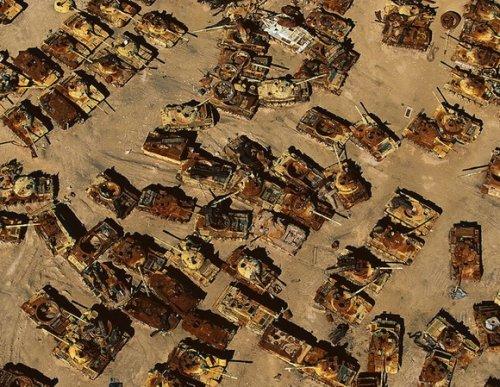
Soviet Tank Graveyard, Kabul, Afghanistan
Check out googlesightseeing.com/maps?p=822&c=&t=k&ll=34.586929,69...
Check out googlesightseeing.com/maps?p=822&c=&t=k&ll=34.586929,69...
Nearby cities:
Coordinates: 34°35'25"N 69°10'19"E
- 'City of Light' Developement (unrealized project) 7.8 km
- Former camp 56th Guards Separate Air Assault Brigade Soviet Army 106 km
- Battle for Hill 3234 136 km
- Battles of Zhawar 171 km
- JORA PIND (OLD JORA PIND) 347 km
- Battle of Asal Uttar 626 km
- Sābli Garh 1066 km
- Probable location of Sindri Fort destroyed in 1819 EQ 1168 km
- Chharra Aerodrome - Now abandoned - Used between 1943-44 during W W2 2087 km
- Ancient city of Balupur 2104 km
- Khaje Bughra 1.8 km
- Marjan Town 2.2 km
- District 15 2.6 km
- Qala-e Fathullah 4.1 km
- KAIA North ISAF Military Facility Location 4.3 km
- Wazir Abad 4.6 km
- Kabul International Airport 4.6 km
- District 10 4.9 km
- District 4 5.3 km
- District 9 8.1 km