Candelaria
Philippines /
Southern Tagalog /
Candelaria /
World
/ Philippines
/ Southern Tagalog
/ Candelaria
World / Philippines / Quezon / Candelaria
town, municipality, draw only border, third-level administrative division
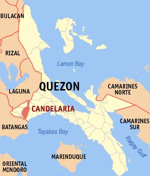
Municipality: Candelaria
Province: Quezon
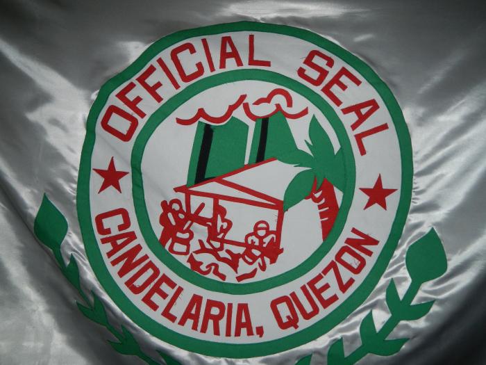
Candelaria (Filipino: Bayan ng Candelaria) is a first class municipality in the province of Quezon, Philippines. The town is 107 kilometers south of Manila and approximately 23 kilometers from Lucena City. It is traversed by the Maharlika Highway and the Philippine National Railways' Southrail line headed towards Legazpi City in Albay. It is bordered by Mount Banahaw to the north, San Juan, Batangas to the south, Tiaong and Dolores to the west, and Sariaya to the east. The municipality has a total area of 175 km².
Candelaria is the second-largest industrial center of the province, after Lucena City. Among the municipalities in Quezon province, Candelaria has the most desiccated coconut factories and oil refineries, such as Peter Paul, Primex, Pacific Royal, SuperStar, Licup Oil Mills, and others, which employ thousands of people.
Province: Quezon
Candelaria (Filipino: Bayan ng Candelaria) is a first class municipality in the province of Quezon, Philippines. The town is 107 kilometers south of Manila and approximately 23 kilometers from Lucena City. It is traversed by the Maharlika Highway and the Philippine National Railways' Southrail line headed towards Legazpi City in Albay. It is bordered by Mount Banahaw to the north, San Juan, Batangas to the south, Tiaong and Dolores to the west, and Sariaya to the east. The municipality has a total area of 175 km².
Candelaria is the second-largest industrial center of the province, after Lucena City. Among the municipalities in Quezon province, Candelaria has the most desiccated coconut factories and oil refineries, such as Peter Paul, Primex, Pacific Royal, SuperStar, Licup Oil Mills, and others, which employ thousands of people.
Wikipedia article: http://en.wikipedia.org/wiki/Candelaria,_Quezon
Nearby cities:
Coordinates: 13°57'7"N 121°25'34"E
- Mauban 57 km
- Tagkawayan 104 km
- Labo, Camarines Norte 114 km
- General Nakar 142 km
- Doña Remedios Trinidad 152 km
- Dipaculao 248 km
- Dupax del Sur 268 km
- Nagtipunan 268 km
- Casiguran 277 km
- Maddela 287 km
- San Antonio Village 2.8 km
- Malabanan Sur 4 km
- Mt. Mayabobo 4 km
- Alvinville Subdivision 4 km
- Taguan,Candelaria Quezon 4.1 km
- PGM Residential Estate 4.7 km
- Westgate Subdvision 5.6 km
- Brgy San Andres 6.3 km
- Masalukot (Villonco) Hill 6.8 km
- Province of Quezon 73 km
Comments