Militair Oefenterrein De Vlasakkers
| military, place with historical importance
Netherlands /
Utrecht /
Soest /
World
/ Netherlands
/ Utrecht
/ Soest
World / Netherlands / Utrecht
military, place with historical importance
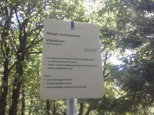

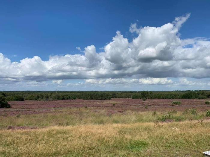
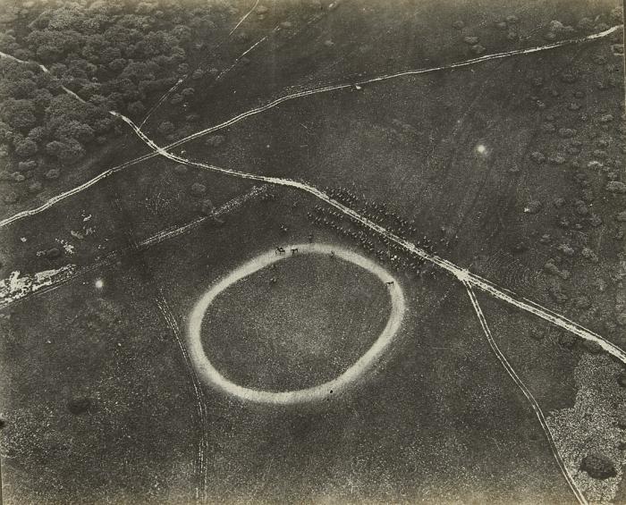
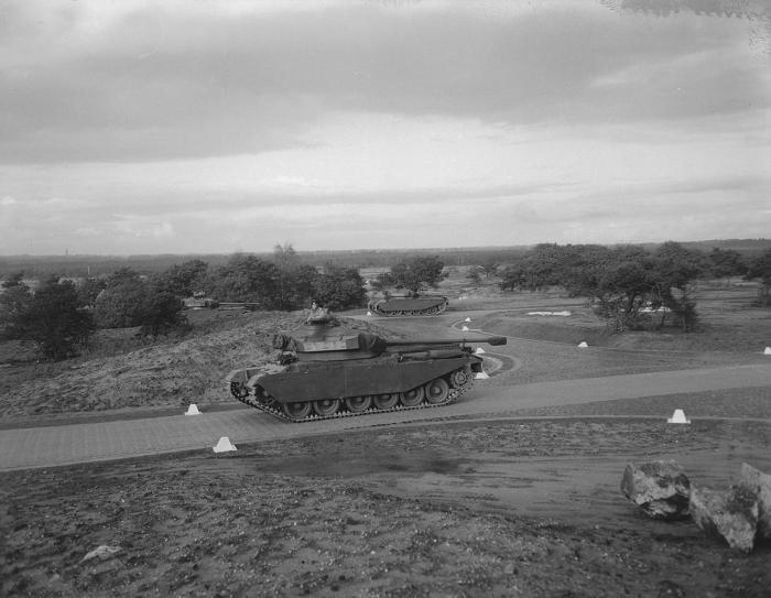
Terrain in use by the Royal Netherlands Army. On the extended road system, crews of armored vehicles are trained. The roads are fitted with water obstacles, sharp corners, bumps, trenches and steep slopes.
Nearby cities:
Coordinates: 52°8'12"N 5°19'7"E
- Sergeant-majoor Scheickkazerne 1 km
- Royal Netherlands Army Central Mechanized Depot of Base "Bernhard" 2.6 km
- National Military Museum 3.6 km
- Soesterberg Air Force Base 4.7 km
- Royal Netherlands Marine Corps Base "Van Braam Houckgeest" 10 km
- Kromhout Kazerne 13 km
- Korporaal Van Oudheusdenkazerne 13 km
- Naarden Star Fort 21 km
- Militair Oefenterrein Fort Crevecoeur 44 km
- WW2 V1/V2 67 km
- Soesterduinen 1.9 km
- Soest (municipality) 2.8 km
- Zeist (municipality) 4.5 km
- Amersfoort 6 km
- Leusden (municipality) 6.5 km
- Utrecht (province) 7.7 km
- Woudenberg (municipality) 8.3 km
- Bunnik (municipality) 13 km
- Utrechtse Heuvelrug 13 km
- Gelderland 41 km