Cape Apostolos Andreas
| cape (geography)
Cyprus /
Turkish controlled area /
Dipkarpaz /
World
/ Cyprus
/ Turkish controlled area
/ Dipkarpaz
World / Cyprus
cape (geography)
Add category
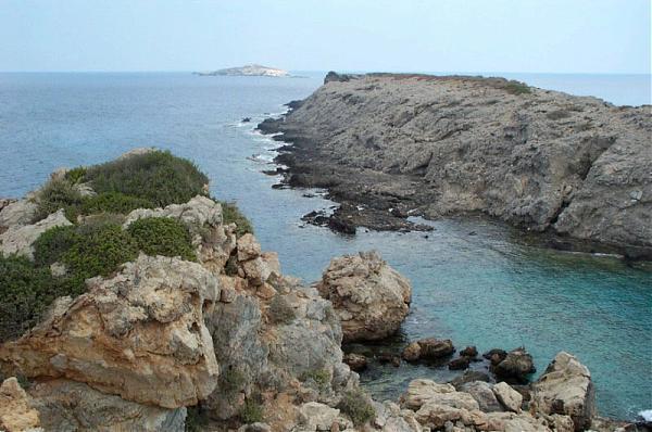
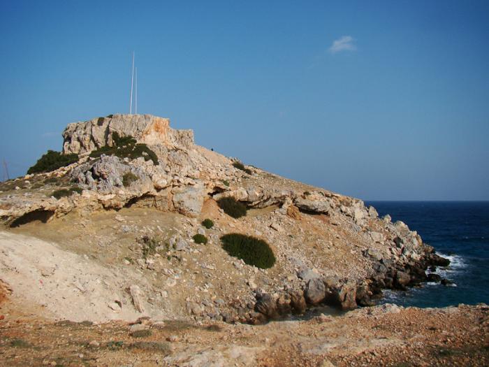
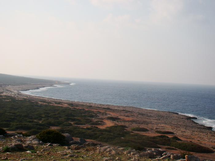
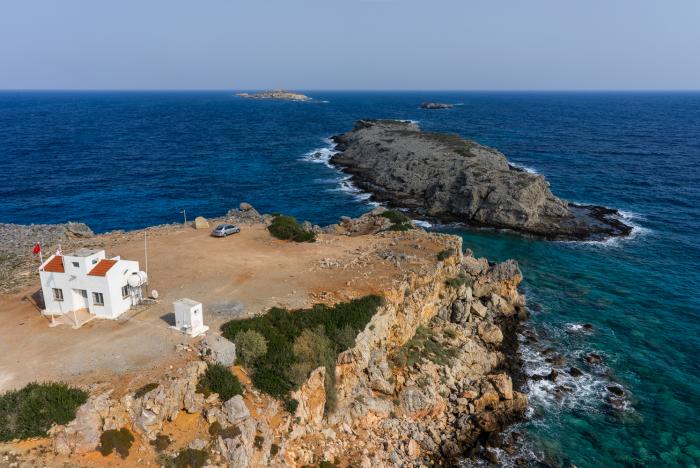
Cape Apostolos Andreas (Greek: Ακρωτήριο Αποστόλου Ανδρέα; Greek translation Cape Saint Andrew, Turkish: Zafer Burnu; Turkish translation, Cape Victory) is the north-easternmost point (promontory) of the Mediterranean island of Cyprus. It lies at the tip of the finger-like Karpass Peninsula.
Wikipedia article: http://en.wikipedia.org/wiki/Cape_Apostolos_Andreas
Nearby cities:
Coordinates: 35°41'35"N 34°35'2"E
- Proti Point 3.7 km
- Cape Greco 93 km
- Cape Greco Lighthouse 94 km
- Ras Ibn Hani 103 km
- Cape of Akinci (Ras al-Khanzir) 130 km
- Ras Anfeh Phoenician city ruins 181 km
- Zafer Islands 1.7 km
- Proti Point 3.6 km
- Apostolos Andreas Monastery 3.9 km
- Church 3.9 km
- Kordylia Islands 4.9 km
- Golden Beach 7 km
- Glaros Island 7.8 km
- Karpaz National Park 10 km
- Karpaz Peninsula 39 km
- İskele District 43 km